|
search place name
|
||
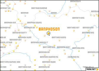
Ban Pho Son (Laos)Ban Pho Son is a town in Laos. An overview map of the region around Ban Pho Son is displayed below.
regional and 3d topo map of Ban Pho Son, Laos ::
Ban Pho Son airports ::
The nearest airport is LPQ - Luang Prabang Luang Phabang Intl, located 67.6 km north west of Ban Pho Son.
Other airports nearby include VTE - Vientiane Wattay Intl (156.3 km south), LOE - Loei (233.3 km south), Nearby towns ::
Ban Luang Mi (1.7km west) //
Ban Nam Phat (4.1km south east) //
Ban Thao Muong (4.0km south east) //
Ban Pho Kham Keut (5.1km south west) //
Ban Thao Meu (5.6km south) //
Thông Sale (5.5km north west) //
Ban Phou Soung (6.4km north west) //
Ban Thao Muong (7.4km north) //
Ban Pho Nom (7.2km west) //
Ban Phahan (7.6km south) //
Na Nan (7.6km north) //
Ban Sanam Hay (7.6km south east) //
Ban Poungpha (8.8km south east) //
Ban Phouviang-Noy (9.9km north east) //
[all distances 'as the bird flies' and approximate] 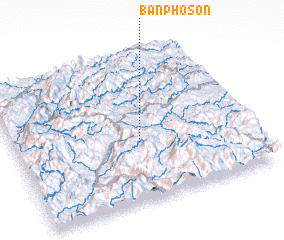 Places with similar names to Ban Pho Son, Laos ::
// Bainghausen (DE)
// Boinghausen (DE)
// Bünighausen (DE)
// Bonavicina (IT)
// Ban Fao Suan (TH)
// Ban Pha Son (TH)
// Ban Phosouan (LA)
// Ban Phousan (LA)
// Ban Phousan (LA)
// Ban Phousani (LA)
Disclaimer :: Information on this page comes without warranty of any kind |
||
|
Where is Ban Pho Son? Elevation and coordinates ::
Latitude (lat): 19°24'0"N Longitude (lon): 102°32'0"E
Elevation (approx.): 1196m (map arrows pan, magnifying glasses zoom) |
||
|
Visiting Ban Pho Son? Hotel/Accommodation ::
Book a hotel in Ban Pho Son Travel Guide ::
Buy a travel guide for Laos rental cars ::
car rental offers GPS waypoint ::
download a GPX waypoint (PoI) of Ban Pho Son for your GPS receiver
|
||