|
search place name
|
||
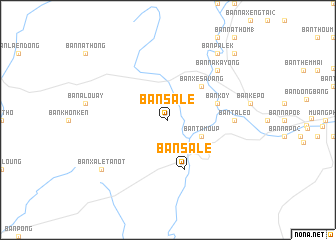
Ban Salè (Laos)Ban Salè is a town in Laos. An overview map of the region around Ban Salè is displayed below.
regional and 3d topo map of Ban Salè, Laos ::
Ban Salè airports ::
The nearest airport is ZVK - Savannakhet, located 118.2 km west of Ban Salè.
Other airports nearby include PKZ - Pakse (155.3 km south), SNO - Sakon Nakhon (200.2 km west), Nearby towns ::
Ban Tamoup (4.0km south east) //
Ban Xésavang (5.1km north east) //
Ban Salè (5.8km south) //
Ban Gnang (5.6km east) //
Ban Kanit (5.6km east) //
Ban Koy (5.6km east) //
Ban Talèo (7.1km east) //
Ban Nakayong (7.7km north east) //
Ban Lalouay Kao (7.7km north east) //
Ban Xalè-Tanôt (9.0km south west) //
Ban Palek (9.1km north east) //
Ban Kang (10.3km north east) //
[all distances 'as the bird flies' and approximate] 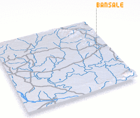 Places with similar names to Ban Salè, Laos ::
// Bounezzal (MA)
// Bansal (PH)
// Banzal (PH)
// Benzal (US)
// Bonsall (US)
// Bonzel (DE)
// Bonsal (DE)
// Banzola (IT)
// Banī Şāliḩ (IQ)
// Banī Şāliḩ (IQ)
Disclaimer :: Information on this page comes without warranty of any kind |
||
|
Where is Ban Salè? Elevation and coordinates ::
Latitude (lat): 16°32'0"N Longitude (lon): 105°52'0"E
Elevation (approx.): 172m (map arrows pan, magnifying glasses zoom) |
||
|
Visiting Ban Salè? Hotel/Accommodation ::
Book a hotel in Ban Salè Travel Guide ::
Buy a travel guide for Laos rental cars ::
car rental offers GPS waypoint ::
download a GPX waypoint (PoI) of Ban Salè for your GPS receiver
|
||