|
search place name
|
||
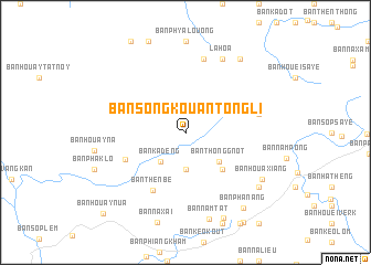
Ban Song Kôuan Tông Li (Houaphan, Laos)Ban Song Kôuan Tông Li is a town in the Houaphan region of Laos. An overview map of the region around Ban Song Kôuan Tông Li is displayed below.
regional and 3d topo map of Ban Song Kôuan Tông Li, Laos ::
Ban Song Kôuan Tông Li airports ::
The nearest airport is LPQ - Luang Prabang Luang Phabang Intl, located 172.4 km west of Ban Song Kôuan Tông Li.
Nearby towns ::
Ban Kouan Louong (3.7km south) //
Ban Kadèng (3.8km south west) //
Ban Thônggnot (4.3km south east) //
Ban Phia Kham (5.1km south east) //
Ban Houayhou (6.3km south west) //
Ban Thènbè (6.6km south west) //
Ban Gnot Nam Pong (7.2km east) //
Ban Kéo Phou Kông (7.6km north) //
La Hoa (8.2km north east) //
Ban Namtat (9.0km south) //
Ban Houaxiang (8.7km south east) //
Ban Den (8.9km south east) //
Ban Pha Meu (9.1km north east) //
Ban Dokkham (9.3km south east) //
Ban Phanang (9.4km south east) //
Ban Houay-Nua (11.3km south west) //
[all distances 'as the bird flies' and approximate] 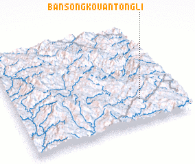 Places with similar names to Ban Song Kôuan Tông Li, Laos :: Disclaimer :: Information on this page comes without warranty of any kind |
||
|
Where is Ban Song Kôuan Tông Li? Elevation and coordinates ::
Latitude (lat): 20°15'0"N Longitude (lon): 103°46'0"E
Elevation (approx.): 1331m (map arrows pan, magnifying glasses zoom) |
||
|
Visiting Ban Song Kôuan Tông Li? Hotel/Accommodation ::
Book a hotel in Ban Song Kôuan Tông Li Travel Guide ::
Buy a travel guide for Laos rental cars ::
car rental offers GPS waypoint ::
download a GPX waypoint (PoI) of Ban Song Kôuan Tông Li for your GPS receiver
|
||