|
search place name
|
||
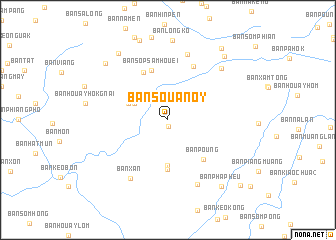
Ban Souan-Oy (Xiangkhoang, Laos)Ban Souan-Oy is a town in the Xiangkhoang region of Laos. An overview map of the region around Ban Souan-Oy is displayed below.
regional and 3d topo map of Ban Souan-Oy, Laos ::
Ban Souan-Oy airports ::
The nearest airport is LPQ - Luang Prabang Luang Phabang Intl, located 197.9 km west of Ban Souan-Oy.
Other airports nearby include HAN - Hanoi Noibai Intl (238.0 km north east), VTE - Vientiane Wattay Intl (258.8 km south west), Nearby towns ::
Ban Hông-Oy (0.7km south) //
Ban Dèndin (3.9km north west) //
Ban Don (4.5km north west) //
Ban Phouhông (5.0km south) //
Sanam Houayhông (5.6km south) //
Ban Sop Sam Houei (5.8km north) //
Ban Sôpsamhouay (5.8km north) //
Ban Poung (5.8km south east) //
Ban Pacha (5.9km north west) //
Ban Tinpha (6.5km north east) //
Ban Sômpong (7.5km north) //
Ban Xan (7.6km south west) //
Ban Phabong (7.8km south east) //
Ban Nongduang (8.0km north east) //
Ban Lôngko (8.9km north) //
Ban Saleut (9.1km north west) //
Ban Gnotpiak (9.1km north west) //
Ban Pakhôm (9.2km north east) //
Ban Phapheu (9.3km south east) //
Ban Pakout (9.8km north east) //
Ban Namtian (10.5km south east) //
[all distances 'as the bird flies' and approximate] 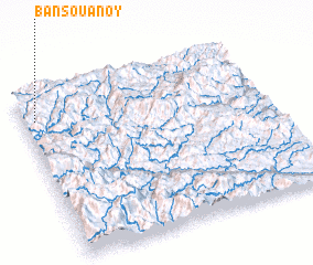 Places with similar names to Ban Souan-Oy, Laos ::
Disclaimer :: Information on this page comes without warranty of any kind |
||
|
Where is Ban Souan-Oy? Elevation and coordinates ::
Latitude (lat): 19°51'0"N Longitude (lon): 104°3'0"E
Elevation (approx.): 1322m (map arrows pan, magnifying glasses zoom) |
||
|
Visiting Ban Souan-Oy? Hotel/Accommodation ::
Book a hotel in Ban Souan-Oy Travel Guide ::
Buy a travel guide for Laos rental cars ::
car rental offers GPS waypoint ::
download a GPX waypoint (PoI) of Ban Souan-Oy for your GPS receiver
|
||