|
search place name
|
||
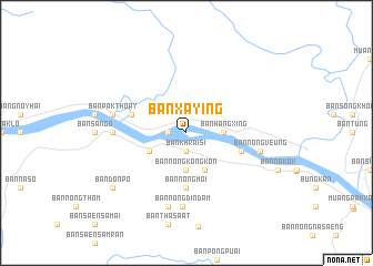
Ban Xay Ing (Laos)Ban Xay Ing is a town in Laos. An overview map of the region around Ban Xay Ing is displayed below.
regional and 3d topo map of Ban Xay Ing, Laos ::
Ban Xay Ing airports ::
The nearest airport is VTE - Vientiane Wattay Intl, located 110.7 km south west of Ban Xay Ing.
Other airports nearby include UTH - Udon Thani (138.3 km south west), SNO - Sakon Nakhon (151.9 km south east), LPQ - Luang Prabang Luang Phabang Intl (214.8 km north west), LOE - Loei (218.1 km south west), Nearby towns ::
Ban Khrai Si (1.9km south) //
Ban Veunthat (1.8km west) //
Ban Hangxing (3.5km east) //
Ban Nong Kong Kon (3.7km south) //
Ban A Hong (4.0km south west) //
Ban Don (4.1km south east) //
Ban Nong Moi (5.6km south) //
Ban Huai Suam (5.6km east) //
Ban Thoay Noy (5.6km west) //
Ban Ho Kham (7.0km west) //
Ban Hua Khua (7.0km west) //
Ban Nong Din Dam (7.4km south) //
Ban Nong Din Dam (7.6km south) //
Ban Nong Veung (7.3km east) //
Ban Nahèn (7.3km west) //
Ban Pakthoay (7.3km west) //
Ban Don Po (9.0km south west) //
[all distances 'as the bird flies' and approximate] 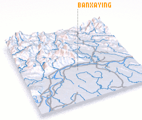 Places with similar names to Ban Xay Ing, Laos ::
// Banxiyang (CN)
Disclaimer :: Information on this page comes without warranty of any kind |
||
|
Where is Ban Xay Ing? Elevation and coordinates ::
Latitude (lat): 18°26'0"N Longitude (lon): 103°30'0"E
Elevation (approx.): 146m (map arrows pan, magnifying glasses zoom) |
||
|
Visiting Ban Xay Ing? Hotel/Accommodation ::
Book a hotel in Ban Xay Ing Travel Guide ::
Buy a travel guide for Laos rental cars ::
car rental offers GPS waypoint ::
download a GPX waypoint (PoI) of Ban Xay Ing for your GPS receiver
|
||