|
search place name
|
||
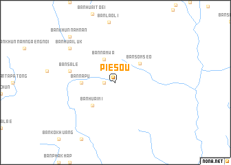
Pie Sou (Xaignabouli, Laos)Pie Sou is a town in the Xaignabouli region of Laos. An overview map of the region around Pie Sou is displayed below.
regional and 3d topo map of Pie Sou, Laos ::
Pie Sou airports ::
The nearest airport is LPQ - Luang Prabang Luang Phabang Intl, located 118.4 km north east of Pie Sou.
Other airports nearby include PRH - Phrae (169.9 km south west), THL - Tachilek Tachileik (192.6 km north west), VTE - Vientiane Wattay Intl (198.1 km south east), LOE - Loei (208.3 km south), Nearby towns ::
Ban Huai Kon (1.7km west) //
Ban Nam Wa (4.1km north west) //
Ban Sômsèo (4.9km north east) //
Ban Huai Mi (5.1km south west) //
Ban Na Pu (5.2km west) //
Ban Sale (7.2km west) //
Ban Huai Luk (8.9km north west) //
Ban Khun Nam Nan (10.2km north west) //
[all distances 'as the bird flies' and approximate] 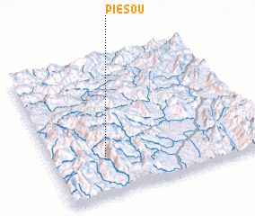 Places with similar names to Pie Sou, Laos ::
Disclaimer :: Information on this page comes without warranty of any kind |
||
|
Where is Pie Sou? Elevation and coordinates ::
Latitude (lat): 19°16'0"N Longitude (lon): 101°15'0"E
Elevation (approx.): 1649m (map arrows pan, magnifying glasses zoom) |
||
|
Visiting Pie Sou? Hotel/Accommodation ::
Book a hotel in Pie Sou Travel Guide ::
Buy a travel guide for Laos rental cars ::
car rental offers GPS waypoint ::
download a GPX waypoint (PoI) of Pie Sou for your GPS receiver
|
||