|
search place name
|
||
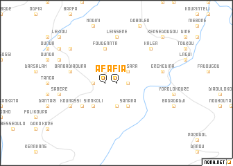
Afia (Mali)Afia is a town in Mali. An overview map of the region around Afia is displayed below.
regional and 3d topo map of Afia, Mali ::
Afia airports ::
The nearest airport is KGG - Kedougou, located 124.3 km north west of Afia.
Other airports nearby include LEK - Labe (147.7 km south west), Nearby towns ::
Bagaya (1.8km east) //
Afia (1.8km west) //
Bassara (2.6km north east) //
Diguia (2.6km north west) //
Bao Bowal (3.7km south) //
Sitadina (3.6km west) //
Sanama (4.1km south east) //
Sinnkoli (5.2km south west) //
Foudennta (5.8km north) //
Dounki (6.6km south west) //
Leïsséré (7.4km north) //
Eré Médina (7.5km east) //
Banbadi Aoura (7.5km west) //
Kaléa (7.8km north east) //
Koumassi (8.1km south west) //
Diami Foulaguiné (9.1km north west) //
Kersédougou (10.4km north east) //
[all distances 'as the bird flies' and approximate] 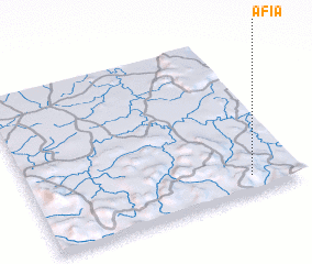 Places with similar names to Afia, Mali ::
Disclaimer :: Information on this page comes without warranty of any kind |
||
|
Where is Afia? Elevation and coordinates ::
Latitude (lat): 12°6'0"N Longitude (lon): 11°11'0"W
Elevation (approx.): 591m (map arrows pan, magnifying glasses zoom) |
||
|
Visiting Afia? Hotel/Accommodation ::
Book a hotel in Afia Travel Guide ::
Buy a travel guide for Mali rental cars ::
car rental offers GPS waypoint ::
download a GPX waypoint (PoI) of Afia for your GPS receiver
|
||