|
search place name
|
||
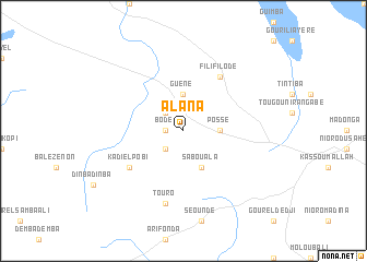
Alana (Mali)Alana is a town in Mali. An overview map of the region around Alana is displayed below.
regional and 3d topo map of Alana, Mali ::
Alana airports ::
The nearest airport is IEO - Aioun El Atrouss, located 162.0 km north of Alana.
Other airports nearby include KYS - Kayes Dag Dag (198.9 km south west), KFA - Kiffa (232.5 km north west), Nearby towns ::
Bodé (1.8km west) //
Sanba Goné (2.6km south west) //
Kouguépourol (2.6km north west) //
Guéné (3.7km north) //
Possé (3.6km east) //
Sabouala (4.1km south east) //
Kadiél Pobi (6.5km south west) //
Filifilodé (6.6km north east) //
Touro (7.6km south) //
[all distances 'as the bird flies' and approximate] 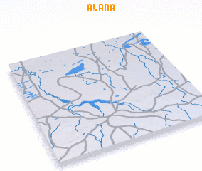 Places with similar names to Alana, Mali ::
Disclaimer :: Information on this page comes without warranty of any kind |
||
|
Where is Alana? Elevation and coordinates ::
Latitude (lat): 15°15'0"N Longitude (lon): 9°44'0"W
Elevation (approx.): 238m (map arrows pan, magnifying glasses zoom) |
||
|
Visiting Alana? Hotel/Accommodation ::
Book a hotel in Alana Travel Guide ::
Buy a travel guide for Mali rental cars ::
car rental offers GPS waypoint ::
download a GPX waypoint (PoI) of Alana for your GPS receiver
|
||