|
search place name
|
||
Goundama Guindé (Mali)Goundama Guindé is a town in Mali. An overview map of the region around Goundama Guindé is displayed below.
regional and 3d topo map of Goundama Guindé, Mali ::

Goundama Guindé airports ::
The nearest airport is TOM - Tombouctou, located 97.7 km west of Goundama Guindé.
Nearby towns ::
Tiènfalon (2.6km north east) //
Mangabéra (2.6km south west) //
I-n-Fezaouane (3.5km west) //
Guiri (4.0km south east) //
Gargouné (5.1km north east) //
Alamba (5.3km east) //
Dangouma (5.6km west) //
Nana (7.1km east) //
Boul (7.3km east) //
Bankoma (7.7km south east) //
Nana Guindé (8.0km north east) //
[all distances 'as the bird flies' and approximate] 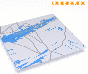 Places with similar names to Goundama Guindé, Mali ::
// Gandou Makanda (CG)
Disclaimer :: Information on this page comes without warranty of any kind |
||
|
Where is Goundama Guindé? Elevation and coordinates ::
Latitude (lat): 16°51'0"N Longitude (lon): 2°6'0"W
Elevation (approx.): 263m (map arrows pan, magnifying glasses zoom) |
||
|
Visiting Goundama Guindé? Hotel/Accommodation ::
Book a hotel in Goundama Guindé Travel Guide ::
Buy a travel guide for Mali rental cars ::
car rental offers GPS waypoint ::
download a GPX waypoint (PoI) of Goundama Guindé for your GPS receiver
|
||