|
search place name
|
||
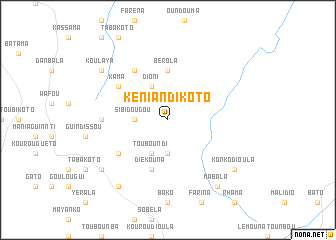
Kéniandikoto (Mali)Kéniandikoto is a town in Mali. An overview map of the region around Kéniandikoto is displayed below.
regional and 3d topo map of Kéniandikoto, Mali ::
Kéniandikoto airports ::
The nearest airport is KGG - Kedougou, located 138.4 km west of Kéniandikoto.
Other airports nearby include KYS - Kayes Dag Dag (170.9 km north), LEK - Labe (229.6 km south west), BXE - Bakel (259.1 km north west), Nearby towns ::
Boro (3.7km south) //
Sibidougou (3.6km west) //
Kalaboto (4.1km south west) //
Touboundi (4.1km south west) //
Dioni (4.1km north west) //
Bérola (5.6km north) //
Diékouna (5.8km south) //
Diounfara (6.6km north west) //
Goundafara (6.6km south west) //
Kama (6.6km north west) //
Galassi (7.2km west) //
Koulaya (9.1km north west) //
Mabala (9.2km south east) //
Dioulafoundouba (9.2km south west) //
Farako (9.1km south west) //
Konkodioula (9.1km south east) //
[all distances 'as the bird flies' and approximate] 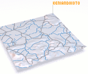 Places with similar names to Kéniandikoto, Mali ::
// Kunendekude (MW)
Disclaimer :: Information on this page comes without warranty of any kind |
||
|
Where is Kéniandikoto? Elevation and coordinates ::
Latitude (lat): 12°59'0"N Longitude (lon): 11°1'0"W
Elevation (approx.): 298m (map arrows pan, magnifying glasses zoom) |
||
|
Visiting Kéniandikoto? Hotel/Accommodation ::
Book a hotel in Kéniandikoto Travel Guide ::
Buy a travel guide for Mali rental cars ::
car rental offers GPS waypoint ::
download a GPX waypoint (PoI) of Kéniandikoto for your GPS receiver
|
||