|
search place name
|
||
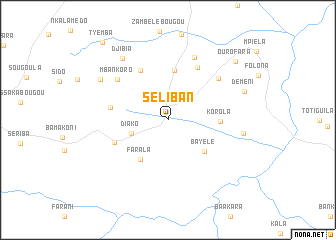
Séliban (Koulikoro, Mali)Séliban is a town in the Koulikoro region of Mali. An overview map of the region around Séliban is displayed below.
regional and 3d topo map of Séliban, Mali ::
Séliban airports ::
The nearest airport is BKO - Bamako Senou, located 63.1 km north west of Séliban.
Nearby towns ::
Diako (4.3km west) //
Bayélé (5.3km south east) //
Farala (5.4km south west) //
Kankéléna (5.5km north) //
Korola (5.7km east) //
Kolossébougou (6.2km north west) //
Nkobougou (6.4km south west) //
Sanankoro Djitoumou (6.4km west) //
Diéra (6.7km north east) //
Mbankoro (7.1km north west) //
Dyalakoro (7.2km north east) //
Bougounimbougouda (7.6km north) //
Fakobougou Zantyèla (8.3km east) //
Djibia (8.5km north west) //
Massala (8.7km north west) //
Déméni (8.9km east) //
Ourofara (9.9km north east) //
Tyémba (11.2km north west) //
[all distances 'as the bird flies' and approximate] 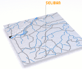 Places with similar names to Séliban, Mali ::
Disclaimer :: Information on this page comes without warranty of any kind |
||
|
Where is Séliban? Elevation and coordinates ::
Latitude (lat): 12°2'50"N Longitude (lon): 7°38'47"W
Elevation (approx.): 355m (map arrows pan, magnifying glasses zoom) |
||
|
Visiting Séliban? Hotel/Accommodation ::
Book a hotel in Séliban Travel Guide ::
Buy a travel guide for Mali rental cars ::
car rental offers GPS waypoint ::
download a GPX waypoint (PoI) of Séliban for your GPS receiver
|
||