|
search place name
|
||
Wahikanou (Mali)Wahikanou is a town in Mali. An overview map of the region around Wahikanou is displayed below.
regional and 3d topo map of Wahikanou, Mali ::

Nearby towns ::
Diom (2.6km north east) //
Madimaramané (3.6km east) //
Dempa (4.0km north west) //
Sirakoro (4.0km south east) //
Komara (5.6km north) //
Dinndinankaré (6.5km north west) //
Damankara (6.5km north west) //
Doumadourou (6.6km north west) //
Messé (6.5km south east) //
Kagola (7.4km west) //
Hangouné Bambara (7.4km west) //
Hangouné Massassi (7.4km west) //
Garambougou (7.6km north) //
Flabougou (7.7km south east) //
Soranguédou (8.2km south east) //
Madina (8.1km north east) //
Diéma (9.2km south west) //
Sideïr (9.1km north east) //
[all distances 'as the bird flies' and approximate] 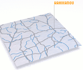 Places with similar names to Wahikanou, Mali ::
Disclaimer :: Information on this page comes without warranty of any kind |
||
|
Where is Wahikanou? Elevation and coordinates ::
Latitude (lat): 14°36'0"N Longitude (lon): 9°9'0"W
Elevation (approx.): 276m (map arrows pan, magnifying glasses zoom) |
||
|
Visiting Wahikanou? Hotel/Accommodation ::
Book a hotel in Wahikanou Travel Guide ::
Buy a travel guide for Mali rental cars ::
car rental offers GPS waypoint ::
download a GPX waypoint (PoI) of Wahikanou for your GPS receiver
|
||