|
search place name
|
||
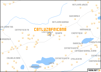
Cat. Luz Africana (Inhambane, Mozambique)Cat. Luz Africana is a town in the Inhambane region of Mozambique. An overview map of the region around Cat. Luz Africana is displayed below.
regional and 3d topo map of Cat. Luz Africana, Mozambique ::
Cat. Luz Africana airports ::
The nearest airport is INH - Inhambane, located 58.5 km north east of Cat. Luz Africana.
Nearby towns ::
Chefe Lulu (1.1km north west) //
Chefe Magula (1.1km east) //
Issufa (3.0km east) //
Cat Metodista (3.2km east) //
Chefe Chambá (4.4km west) //
Abedula (4.8km east) //
Met. Livre G. Gande (5.4km north east) //
Induna Malonguissa (5.2km south west) //
Cabo Mazonda (5.2km south west) //
Cat. Metodista (5.9km south west) //
Samessone Juvande (5.8km west) //
Cabo Camo Camo (6.1km north east) //
Beato N. A. Pereira (6.3km west) //
Comache Metine (6.7km south west) //
Cabo Calangane (7.1km west) //
Induna Chico (7.3km west) //
Cat. Metodista (7.6km west) //
Chefe Cigamane (7.6km west) //
Cabo mahena (8.8km south east) //
Chefe Cuinhane (9.0km south west) //
Cat. Metodista (9.1km south east) //
António Silva (9.5km south west) //
[all distances 'as the bird flies' and approximate] 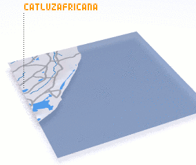 Places with similar names to Cat. Luz Africana, Mozambique ::
// Cat. Luz Africana (MZ)
Disclaimer :: Information on this page comes without warranty of any kind |
||
|
Where is Cat. Luz Africana? Elevation and coordinates ::
Latitude (lat): 24°15'57"S Longitude (lon): 35°1'14"E
Elevation (approx.): 123m (map arrows pan, magnifying glasses zoom) |
||
|
Visiting Cat. Luz Africana? Hotel/Accommodation ::
Book a hotel in Cat. Luz Africana Travel Guide ::
Buy a travel guide for Mozambique rental cars ::
car rental offers GPS waypoint ::
download a GPX waypoint (PoI) of Cat. Luz Africana for your GPS receiver
|
||