|
search place name
|
||
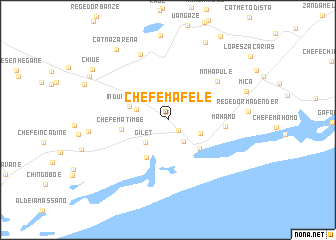
Chefe Mafele (Gaza, Mozambique)Chefe Mafele is a town in the Gaza region of Mozambique. An overview map of the region around Chefe Mafele is displayed below.
regional and 3d topo map of Chefe Mafele, Mozambique ::
Chefe Mafele airports ::
The nearest airport is INH - Inhambane, located 169.7 km north east of Chefe Mafele.
Other airports nearby include MPM - Maputo (195.9 km south west), Nearby towns ::
Regedor Muguambe (1.5km south east) //
Nhaluele (2.8km south east) //
Gilet (3.4km south west) //
Chefe Mungoi (3.4km west) //
Regedor Chidenguele (3.6km south east) //
Induna Sabão (4.2km west) //
Chidenguele (4.5km south east) //
Chefe Chitombe (4.7km south west) //
Chefe Matimbe (4.8km west) //
Mahamo (5.9km east) //
M. Nhapule (6.6km north east) //
Chefe Dolene (7.8km north) //
Mica (8.6km east) //
Fanete Cossa (9.4km north east) //
Cat. Nazarena (9.4km north west) //
Nhanzilo (9.3km north west) //
Chiúe (9.5km north west) //
[all distances 'as the bird flies' and approximate] 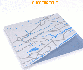 Places with similar names to Chefe Mafele, Mozambique ::
// Chefe Mavele (MZ)
// Chefe Mavuela (MZ)
Disclaimer :: Information on this page comes without warranty of any kind |
||
|
Where is Chefe Mafele? Elevation and coordinates ::
Latitude (lat): 24°53'36"S Longitude (lon): 34°9'28"E
Elevation (approx.): 62m (map arrows pan, magnifying glasses zoom) |
||
|
Visiting Chefe Mafele? Hotel/Accommodation ::
Book a hotel in Chefe Mafele Travel Guide ::
Buy a travel guide for Mozambique rental cars ::
car rental offers GPS waypoint ::
download a GPX waypoint (PoI) of Chefe Mafele for your GPS receiver
|
||