|
search place name
|
||
Chefe Niquezo (Zambézia, Mozambique)Chefe Niquezo is a town in the Zambézia region of Mozambique. An overview map of the region around Chefe Niquezo is displayed below.
regional and 3d topo map of Chefe Niquezo, Mozambique ::

Chefe Niquezo airports ::
The nearest airport is UEL - Quelimane, located 139.6 km south of Chefe Niquezo.
Nearby towns ::
Macurré (3.9km north west) //
Régulo Minhote (6.0km south) //
Chefe Sambora (6.4km south east) //
Muderela (7.1km south) //
Chefe Talião (7.8km north) //
Régulo Namuto (7.7km west) //
Régulo Indau (8.4km north west) //
Afrêda (8.3km south west) //
Chefe Girimula (8.6km south east) //
Coguno (9.3km north) //
Mária (9.6km south east) //
Chefe Muloi (11.1km south east) //
[all distances 'as the bird flies' and approximate] 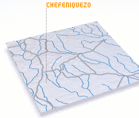 Places with similar names to Chefe Niquezo, Mozambique ::
Disclaimer :: Information on this page comes without warranty of any kind |
||
|
Where is Chefe Niquezo? Elevation and coordinates ::
Latitude (lat): 16°37'47"S Longitude (lon): 37°10'40"E
Elevation (approx.): 190m (map arrows pan, magnifying glasses zoom) |
||
|
Visiting Chefe Niquezo? Hotel/Accommodation ::
Book a hotel in Chefe Niquezo Travel Guide ::
Buy a travel guide for Mozambique rental cars ::
car rental offers GPS waypoint ::
download a GPX waypoint (PoI) of Chefe Niquezo for your GPS receiver
|
||