|
search place name
|
||
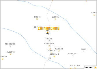
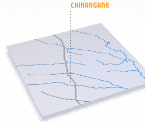
Chimangane (Gaza, Mozambique)Chimangane is a town in the Gaza region of Mozambique. An overview map of the region around Chimangane is displayed below.
regional and 3d topo map of Chimangane, Mozambique ::
Chimangane airports ::
The nearest airport is SZK - Skukuza, located 228.5 km south west of Chimangane.
Other airports nearby include VNX - Vilankulu Vilankulo (272.7 km north east), Nearby towns ::
 Places with similar names to Chimangane, Mozambique ::
// Siamingano (ZM)
// Chemangane (MZ)
// Chimungane (MZ)
// Chambong-ni (KP)
// Chimang-ni (KR)
// Shimenkan (CN)
// Shimenkan (CN)
// Shimenkan (CN)
// Shimenkan (CN)
// Shimenkan (CN)
Disclaimer :: Information on this page comes without warranty of any kind |
||
|
Where is Chimangane? Elevation and coordinates ::
Latitude (lat): 23°41'37"S Longitude (lon): 33°21'54"E
Elevation (approx.): 59m (map arrows pan, magnifying glasses zoom) |
||
|
Visiting Chimangane? Hotel/Accommodation ::
Book a hotel in Chimangane Travel Guide ::
Buy a travel guide for Mozambique rental cars ::
car rental offers GPS waypoint ::
download a GPX waypoint (PoI) of Chimangane for your GPS receiver
|
||