|
search place name
|
||
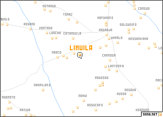
Limuila (Zambézia, Mozambique)Limuila is a town in the Zambézia region of Mozambique. An overview map of the region around Limuila is displayed below.
regional and 3d topo map of Limuila, Mozambique ::
Limuila airports ::
The nearest airport is UEL - Quelimane, located 83.6 km south west of Limuila.
Nearby towns ::
Bonde (2.0km north west) //
Etamuè (2.5km north) //
Navaia (3.3km west) //
Minaniua (4.1km west) //
Cueteia (4.8km north east) //
Catangula (5.0km north) //
Naaco (5.3km west) //
Munona (5.6km east) //
Pezuzo (6.1km north east) //
Carroga (6.2km east) //
Ejae (6.5km south east) //
Padesso (7.2km south east) //
Panco (7.4km south east) //
Lancha (7.3km north west) //
Mapulache (7.6km south east) //
Bala (7.6km north east) //
Mualesse (7.8km south east) //
Maganja (7.7km north east) //
Nandaulè (7.9km north west) //
Mualavula (8.4km north) //
Lanterna (8.2km east) //
Umpala (8.7km north east) //
Tendere (9.4km north east) //
Vontade (9.6km north west) //
Mafumare (9.8km north east) //
Nampilane (11.1km south west) //
[all distances 'as the bird flies' and approximate]  Places with similar names to Limuila, Mozambique ::
Disclaimer :: Information on this page comes without warranty of any kind |
||
|
Where is Limuila? Elevation and coordinates ::
Latitude (lat): 17°21'34"S Longitude (lon): 37°27'47"E
Elevation (approx.): 33m (map arrows pan, magnifying glasses zoom) |
||
|
Visiting Limuila? Hotel/Accommodation ::
Book a hotel in Limuila Travel Guide ::
Buy a travel guide for Mozambique rental cars ::
car rental offers GPS waypoint ::
download a GPX waypoint (PoI) of Limuila for your GPS receiver
|
||