|
search place name
|
||
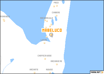
Mabeluco (Maputo, Mozambique)Mabeluco is a town in the Maputo region of Mozambique. An overview map of the region around Mabeluco is displayed below.
regional and 3d topo map of Mabeluco, Mozambique ::
Mabeluco airports ::
The nearest airport is MPM - Maputo, located 49.8 km north west of Mabeluco.
Other airports nearby include MTS - Manzini Matsapha (160.5 km west), SZK - Skukuza (195.0 km north west), HDS - Hoedspruit Afb (280.4 km north west), Nearby towns ::
Chefe Matabelé (1.7km west) //
Chefe Pinto (3.2km north west) //
Lucas (3.3km south west) //
Aiai (3.9km north) //
Delamo (3.9km north west) //
Hembene (4.5km north) //
Machangulo (5.9km north) //
Nossa Senhora das Graças (6.5km north) //
Cimbene (7.9km north) //
Chefe Causse (8.2km south) //
[all distances 'as the bird flies' and approximate] 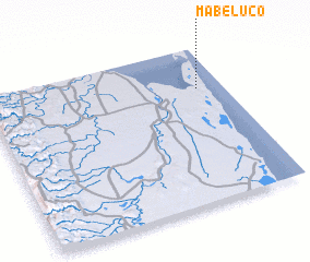 Places with similar names to Mabeluco, Mozambique ::
Disclaimer :: Information on this page comes without warranty of any kind |
||
|
Where is Mabeluco? Elevation and coordinates ::
Latitude (lat): 26°16'4"S Longitude (lon): 32°53'23"E
Elevation (approx.): 18m (map arrows pan, magnifying glasses zoom) |
||
|
Visiting Mabeluco? Hotel/Accommodation ::
Book a hotel in Mabeluco Travel Guide ::
Buy a travel guide for Mozambique rental cars ::
car rental offers GPS waypoint ::
download a GPX waypoint (PoI) of Mabeluco for your GPS receiver
|
||