|
search place name
|
||
Nantecula (Cabo Delgado, Mozambique)Nantecula is a town in the Cabo Delgado region of Mozambique. An overview map of the region around Nantecula is displayed below.
regional and 3d topo map of Nantecula, Mozambique ::

Nantecula airports ::
The nearest airport is MZB - Mocimboa Da Praia, located 189.4 km east of Nantecula.
Other airports nearby include MYW - Mtwara (207.2 km north east), POL - Pemba (271.3 km south east), Nearby towns ::
Nacovera (3.2km south west) //
Chicamunde (7.9km west) //
[all distances 'as the bird flies' and approximate] 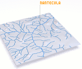 Places with similar names to Nantecula, Mozambique ::
// Nanty Glo (US)
// Nandakul (BD)
// Nandikole (TP)
// Niantiguila (ML)
// Nondugl (PG)
// Nont'o-gol (KP)
// Nindigully (AU)
// Nantyglo (GB)
// Nondkeil (FR)
Disclaimer :: Information on this page comes without warranty of any kind |
||
|
Where is Nantecula? Elevation and coordinates ::
Latitude (lat): 11°24'3"S Longitude (lon): 38°37'13"E
Elevation (approx.): 220m (map arrows pan, magnifying glasses zoom) |
||
|
Visiting Nantecula? Hotel/Accommodation ::
Book a hotel in Nantecula Travel Guide ::
Buy a travel guide for Mozambique rental cars ::
car rental offers GPS waypoint ::
download a GPX waypoint (PoI) of Nantecula for your GPS receiver
|
||