|
search place name
|
||
Necangara (Niassa, Mozambique)Necangara is a town in the Niassa region of Mozambique. An overview map of the region around Necangara is displayed below.
regional and 3d topo map of Necangara, Mozambique ::

Necangara airports ::
The nearest airport is VXC - Lichinga, located 130.7 km west of Necangara.
Nearby towns ::
Cassange (2.1km north east) //
Nancueje (5.6km north east) //
Etaúpe (6.5km north east) //
Nampomo (6.9km east) //
Mararo (7.8km north) //
Muica (8.0km north east) //
Natuco (8.3km east) //
Nafuro (8.7km north east) //
Milo (8.8km north west) //
Antifica (9.0km north) //
Nametana (9.0km north west) //
Reva (9.4km north) //
Corota (9.6km north east) //
[all distances 'as the bird flies' and approximate] 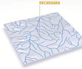 Places with similar names to Necangara, Mozambique ::
// Ngunguru (NZ)
// Ngancar (ID)
// Ngunguru (KE)
// Nkongora (UG)
// Nkongoro (UG)
// Ngangora (TZ)
// Ngongoro (TZ)
// Nicangara (MZ)
// Knocknacarry (GB)
// Knocknagree (IE)
Disclaimer :: Information on this page comes without warranty of any kind |
||
|
Where is Necangara? Elevation and coordinates ::
Latitude (lat): 13°26'56"S Longitude (lon): 36°27'34"E
Elevation (approx.): 598m (map arrows pan, magnifying glasses zoom) |
||
|
Visiting Necangara? Hotel/Accommodation ::
Book a hotel in Necangara Travel Guide ::
Buy a travel guide for Mozambique rental cars ::
car rental offers GPS waypoint ::
download a GPX waypoint (PoI) of Necangara for your GPS receiver
|
||