|
search place name
|
||
Netata (Nampula, Mozambique)Netata is a town in the Nampula region of Mozambique. An overview map of the region around Netata is displayed below.
regional and 3d topo map of Netata, Mozambique ::

Netata airports ::
The nearest airport is POL - Pemba, located 122.1 km north east of Netata.
Other airports nearby include MNC - Nacala (123.0 km south east), APL - Nampula (151.6 km south), Nearby towns ::
Estocala (4.2km south west) //
Metatica (4.4km north) //
Mecupo (5.0km east) //
Chiove (5.2km east) //
Naeue (6.1km north) //
Chefe Quinauéria (8.0km north east) //
Jacau (8.4km south) //
Narrava (8.3km north east) //
Cabo Vicente (8.3km north west) //
Cabo Namicói (8.5km east) //
Chefe Paulo (9.2km south west) //
Muanamuno (9.4km south west) //
Nauacha (10.6km north west) //
Chefe Cavara (11.6km north west) //
[all distances 'as the bird flies' and approximate] 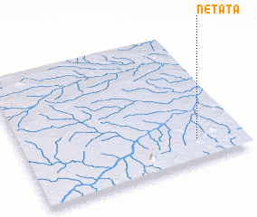 Places with similar names to Netata, Mozambique ::
Disclaimer :: Information on this page comes without warranty of any kind |
||
|
Where is Netata? Elevation and coordinates ::
Latitude (lat): 13°49'46"S Longitude (lon): 39°47'39"E
Elevation (approx.): 306m (map arrows pan, magnifying glasses zoom) |
||
|
Visiting Netata? Hotel/Accommodation ::
Book a hotel in Netata Travel Guide ::
Buy a travel guide for Mozambique rental cars ::
car rental offers GPS waypoint ::
download a GPX waypoint (PoI) of Netata for your GPS receiver
|
||