|
search place name
|
||
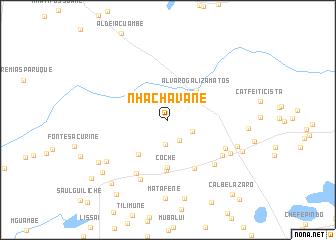
Nhachavane (Inhambane, Mozambique)Nhachavane is a town in the Inhambane region of Mozambique. An overview map of the region around Nhachavane is displayed below.
regional and 3d topo map of Nhachavane, Mozambique ::
Nhachavane airports ::
The nearest airport is INH - Inhambane, located 73.2 km north east of Nhachavane.
Nearby towns ::
Romeu Magoengoè (2.6km south east) //
Tomas Uiliamo (2.7km south) //
Chefe Nhamuenda (2.9km south east) //
Alvaro Galiza Matos (4.4km north east) //
Malando Mindu (4.9km south west) //
Coche (5.3km south) //
Chefe Maguivele (5.6km south) //
Chefe Manguete (6.0km south east) //
Chefe Checanhane (6.8km south west) //
Cat. Metodista (6.9km south east) //
Chefe Polongue (6.7km south east) //
Cat. Congregacional (6.8km south east) //
Cat. Metodista (7.2km south west) //
Cabo Chacane (7.4km south east) //
Zefanias Paipe (7.8km south west) //
Chacane (7.6km south east) //
Mata Fene (8.8km south) //
Manda Cane (9.0km south) //
M. Dedevele (8.4km south east) //
Chefe Manengula (8.5km south west) //
Cabo Machambo (8.9km south west) //
Aldeia Chipone (9.2km south west) //
São Sochua (9.8km south west) //
I. Quimbine (10.2km south west) //
Calbe Lázaro (10.6km south east) //
[all distances 'as the bird flies' and approximate] 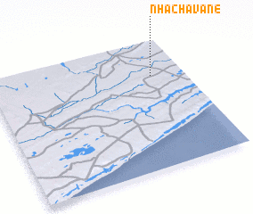 Places with similar names to Nhachavane, Mozambique :: Disclaimer :: Information on this page comes without warranty of any kind |
||
|
Where is Nhachavane? Elevation and coordinates ::
Latitude (lat): 24°16'28"S Longitude (lon): 34°50'2"E
Elevation (approx.): 68m (map arrows pan, magnifying glasses zoom) |
||
|
Visiting Nhachavane? Hotel/Accommodation ::
Book a hotel in Nhachavane Travel Guide ::
Buy a travel guide for Mozambique rental cars ::
car rental offers GPS waypoint ::
download a GPX waypoint (PoI) of Nhachavane for your GPS receiver
|
||