|
search place name
|
||
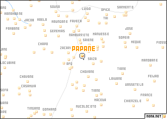
Papane (Inhambane, Mozambique)Papane is a town in the Inhambane region of Mozambique. An overview map of the region around Papane is displayed below.
regional and 3d topo map of Papane, Mozambique ::
Papane airports ::
The nearest airport is VNX - Vilankulu Vilankulo, located 89.2 km south east of Papane.
Other airports nearby include BEW - Beira (203.0 km north), Nearby towns ::
Peiane (2.2km north east) //
Langostela (2.1km west) //
Saiza (2.2km south east) //
Joane (3.0km south west) //
Uaene (3.2km north) //
Cabo Chichavane (3.0km west) //
Saiene (3.5km north) //
Afo (3.5km south west) //
Zacarias (3.5km north west) //
Fanequiço (3.8km north) //
Melice (3.7km north east) //
Cabélane (3.7km east) //
Chovane (4.0km south) //
Saisse (4.1km north east) //
Macassa (4.2km west) //
Namburrete (4.5km north) //
Laisse (5.0km north east) //
Chichavane (5.3km south) //
Metundo (5.2km south east) //
Cunane (5.9km south) //
Fulau (5.7km north east) //
Sendela (6.1km south west) //
Manuesse (6.0km north east) //
Muchache (6.6km north) //
Ofisso (6.6km north) //
Candela (6.6km south) //
Jossai (7.0km south) //
Simione (6.8km west) //
Faveca (7.7km north) //
[all distances 'as the bird flies' and approximate] 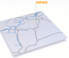 Places with similar names to Papane, Mozambique ::
Disclaimer :: Information on this page comes without warranty of any kind |
||
|
Where is Papane? Elevation and coordinates ::
Latitude (lat): 21°36'11"S Longitude (lon): 34°34'28"E
Elevation (approx.): 142m (map arrows pan, magnifying glasses zoom) |
||
|
Visiting Papane? Hotel/Accommodation ::
Book a hotel in Papane Travel Guide ::
Buy a travel guide for Mozambique rental cars ::
car rental offers GPS waypoint ::
download a GPX waypoint (PoI) of Papane for your GPS receiver
|
||