|
search place name
|
||
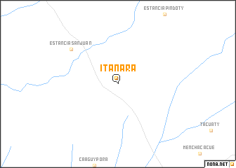
Itanara (Canindeyú, Paraguay)Itanara is a town in the Canindeyú region of Paraguay. An overview map of the region around Itanara is displayed below.
regional and 3d topo map of Itanara, Paraguay ::
Itanara airports ::
The nearest airport is PMG - Ponta Pora, located 140.6 km north of Itanara.
Other airports nearby include ASU - Asuncion Silvio Pettirossi Intl (236.2 km south west), IGU - Foz Do Iguacu Cataratas Intl (236.8 km south east), IGR - Iguazu Falls Cataratas Del Iguazu (250.6 km south east), Nearby towns ::
Estancia San Juan (8.8km north west) //
[all distances 'as the bird flies' and approximate] 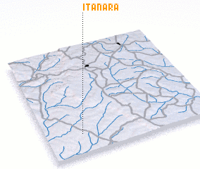 Places with similar names to Itanara, Paraguay ::
Disclaimer :: Information on this page comes without warranty of any kind |
||
|
Where is Itanara? Elevation and coordinates ::
Latitude (lat): 23°49'0"S Longitude (lon): 55°47'0"W
Elevation (approx.): 249m (map arrows pan, magnifying glasses zoom) |
||
|
Visiting Itanara? Hotel/Accommodation ::
Book a hotel in Itanara Travel Guide ::
Buy a travel guide for Paraguay rental cars ::
car rental offers GPS waypoint ::
download a GPX waypoint (PoI) of Itanara for your GPS receiver
|
||