|
search place name
|
||
Los Cedrales (Alto Paraná, Paraguay)Los Cedrales is a town in the Alto Paraná region of Paraguay. An overview map of the region around Los Cedrales is displayed below.
regional and 3d topo map of Los Cedrales, Paraguay ::

Los Cedrales airports ::
The nearest airport is IGU - Foz Do Iguacu Cataratas Intl, located 22.2 km east of Los Cedrales.
Other airports nearby include IGR - Iguazu Falls Cataratas Del Iguazu (24.7 km south east), CAC - Cascavel (140.6 km north east), PSS - Posadas (230.3 km south west), Nearby towns ::
[all distances 'as the bird flies' and approximate] 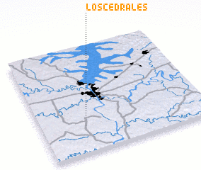 Places with similar names to Los Cedrales, Paraguay ::
// Los Atrales (PA)
// Los Treiles (CL)
// Los Toriles (MX)
// Los Toriles (MX)
// Los Toriles (MX)
// Los Toriles (MX)
// Los Toriles (HN)
// Los Cedrales (VE)
// Leza de Río Leza (ES)
// Les Tourailles (FR)
Disclaimer :: Information on this page comes without warranty of any kind |
||
|
Where is Los Cedrales? Elevation and coordinates ::
Latitude (lat): 25°39'0"S Longitude (lon): 54°42'0"W
Elevation (approx.): 221m (map arrows pan, magnifying glasses zoom) |
||
|
Visiting Los Cedrales? Hotel/Accommodation ::
Book a hotel in Los Cedrales Travel Guide ::
Buy a travel guide for Paraguay rental cars ::
car rental offers GPS waypoint ::
download a GPX waypoint (PoI) of Los Cedrales for your GPS receiver
|
||