|
search place name
|
||
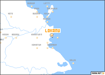
Lokanu (Papua New Guinea)Lokanu is a town in Papua New Guinea. An overview map of the region around Lokanu is displayed below.
regional and 3d topo map of Lokanu, Papua New Guinea ::
Lokanu airports ::
The nearest airport is LAE - Nadzab, located 71.2 km north west of Lokanu.
Other airports nearby include GKA - Goroka (217.7 km north west), MAG - Madang (254.2 km north west), Nearby towns ::
Buansing (1.8km east) //
Kelkel (2.6km south west) //
Lakala (2.6km south west) //
Buiambum (3.7km south) //
Boisi (4.1km south west) //
Kamiaturn (5.5km west) //
Logui (5.9km north) //
Nuk Nuk (5.9km north) //
Komiatum (6.6km south west) //
Keila (7.6km north) //
Busama (9.2km north west) //
[all distances 'as the bird flies' and approximate] 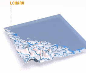 Places with similar names to Lokanu, Papua New Guinea ::
Disclaimer :: Information on this page comes without warranty of any kind |
||
|
Where is Lokanu? Elevation and coordinates ::
Latitude (lat): 7°7'0"S Longitude (lon): 147°4'0"E
Elevation (approx.): 4m (map arrows pan, magnifying glasses zoom) |
||
|
Visiting Lokanu? Hotel/Accommodation ::
Book a hotel in Lokanu Travel Guide ::
rental cars ::
car rental offers GPS waypoint ::
download a GPX waypoint (PoI) of Lokanu for your GPS receiver
|
||