|
search place name
|
||
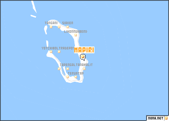
Mapiri (Papua New Guinea)Mapiri is a town in Papua New Guinea. An overview map of the region around Mapiri is displayed below.
regional and 3d topo map of Mapiri, Papua New Guinea ::
Nearby towns ::
Tanamalit (1.9km south) //
Tapengal (4.1km south west) //
Teruatap (4.1km south west) //
Tarbe (4.1km south west) //
Kulis (5.2km south west) //
Lihon Number 2 (5.9km north) //
Lihon Number 1 (5.9km north) //
Lihon Number 3 (5.9km north) //
Yotchibol Trade Post (5.8km west) //
Tanaheran (5.8km west) //
Yotchibol (7.6km west) //
Poriwon (8.3km north west) //
Siaken (8.3km north west) //
Siar Number 2 (9.3km north west) //
Salapem (9.3km north west) //
Siar Number 1 (9.3km north west) //
Tangani (10.5km north west) //
Sirof (10.5km north west) //
Balil (10.5km north west) //
[all distances 'as the bird flies' and approximate] 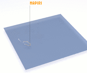 Places with similar names to Mapiri, Papua New Guinea ::
Disclaimer :: Information on this page comes without warranty of any kind |
||
|
Where is Mapiri? Elevation and coordinates ::
Latitude (lat): 4°32'0"S Longitude (lon): 154°14'0"E
Elevation (approx.): 30m (map arrows pan, magnifying glasses zoom) |
||
|
Visiting Mapiri? Hotel/Accommodation ::
Book a hotel in Mapiri Travel Guide ::
rental cars ::
car rental offers GPS waypoint ::
download a GPX waypoint (PoI) of Mapiri for your GPS receiver
|
||