|
search place name
|
||
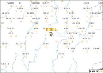
Nakil (Sandaun, Papua New Guinea)Nakil is a town in the Sandaun region of Papua New Guinea. An overview map of the region around Nakil is displayed below.
regional and 3d topo map of Nakil, Papua New Guinea ::
Nakil airports ::
The nearest airport is WWK - Wewak Intl, located 172.5 km east of Nakil.
Other airports nearby include DJJ - Jayapura Sentani (208.9 km north west), Nearby towns ::
Lipoam (2.6km south east) //
Pinkil (2.6km north west) //
Warin (4.1km south west) //
Puang (5.9km east) //
Yutabi (5.9km west) //
Bin (5.9km north) //
Piem (5.9km east) //
Wititai (6.7km south east) //
Witikin (6.7km south east) //
Tebali (6.7km north west) //
Yili (6.7km north east) //
Lalwi (6.7km north east) //
Tumentonik (7.4km east) //
Weteili (7.4km west) //
Keibam (7.4km north) //
Yemnu (7.6km east) //
Mamuf (7.6km north) //
Telotei (7.9km north west) //
Mambel (7.9km north east) //
Eikil (7.9km north east) //
Weisin (8.3km south east) //
Witweis (9.3km south east) //
Seinam (9.3km north west) //
Pimon (10.5km north east) //
Orutei (10.5km north west) //
Miliom (10.5km north west) //
[all distances 'as the bird flies' and approximate] 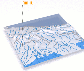 Places with similar names to Nakil, Papua New Guinea ::
Disclaimer :: Information on this page comes without warranty of any kind |
||
|
Where is Nakil? Elevation and coordinates ::
Latitude (lat): 3°34'0"S Longitude (lon): 142°7'0"E
Elevation (approx.): 338m (map arrows pan, magnifying glasses zoom) |
||
|
Visiting Nakil? Hotel/Accommodation ::
Book a hotel in Nakil Travel Guide ::
rental cars ::
car rental offers GPS waypoint ::
download a GPX waypoint (PoI) of Nakil for your GPS receiver
|
||