|
search place name
|
||
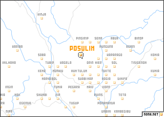
Posulim (Papua New Guinea)Posulim is a town in Papua New Guinea. An overview map of the region around Posulim is displayed below.
regional and 3d topo map of Posulim, Papua New Guinea ::
Posulim airports ::
The nearest airport is HGU - Mount Hagen, located 80.4 km east of Posulim.
Other airports nearby include GKA - Goroka (198.4 km east), Nearby towns ::
Pembi (1.9km north) //
Orin (2.6km south east) //
Kusi (3.7km north) //
Pingirip (3.7km north) //
Tunglunda (3.7km east) //
Tulum (3.7km south) //
Wagela (4.1km south west) //
Paip (4.1km north east) //
Bela (4.1km south east) //
Hier (4.1km south east) //
Kambirip (4.1km south east) //
Alamanda (4.1km south east) //
Nambip (4.1km south east) //
Hum (4.1km south west) //
Homan (4.1km south west) //
Semp (5.2km north east) //
Paial (5.2km south east) //
Suabi (5.6km south) //
Milant (5.6km south) //
Dol (5.5km east) //
Mulim (5.5km east) //
Mungura (5.8km east) //
Hoai (5.8km east) //
Peane (5.8km west) //
Map (5.9km south) //
Medesoat (5.8km east) //
Umberam (6.7km south east) //
Nene (6.7km north east) //
Kelta (6.7km north east) //
[all distances 'as the bird flies' and approximate] 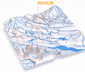 Places with similar names to Posulim, Papua New Guinea ::
Disclaimer :: Information on this page comes without warranty of any kind |
||
|
Where is Posulim? Elevation and coordinates ::
Latitude (lat): 6°2'0"S Longitude (lon): 143°36'0"E
Elevation (approx.): 2093m (map arrows pan, magnifying glasses zoom) |
||
|
Visiting Posulim? Hotel/Accommodation ::
Book a hotel in Posulim Travel Guide ::
rental cars ::
car rental offers GPS waypoint ::
download a GPX waypoint (PoI) of Posulim for your GPS receiver
|
||