|
search place name
|
||
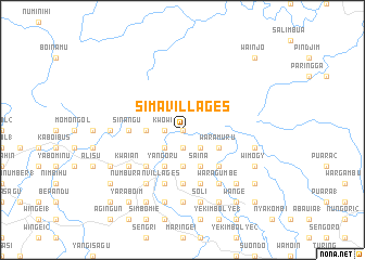
Sima Villages (Papua New Guinea)Sima Villages is a town in Papua New Guinea. An overview map of the region around Sima Villages is displayed below.
regional and 3d topo map of Sima Villages, Papua New Guinea ::
Sima Villages airports ::
The nearest airport is WWK - Wewak Intl, located 39.3 km east of Sima Villages.
Nearby towns ::
Wamaina (0.0km north) //
Kworabi (1.9km south) //
Kwowi (1.8km west) //
Pachan (1.8km west) //
Ambukanja (2.6km south east) //
Kambelyi (2.6km south west) //
Marambanja (3.7km south) //
Mambuk (3.7km west) //
Waramuru (4.1km south east) //
Parina 2 (4.1km south east) //
Saina (4.1km south east) //
Yangoru (4.1km south west) //
Kiarivu (4.1km south west) //
Parina 1 (5.2km south east) //
Karapia (5.2km south west) //
Ambukwon (5.2km south west) //
Kuvari (5.2km south west) //
Sausenduan (5.6km south) //
Sinangu (5.5km west) //
Bukienduan (5.9km south) //
Herenge (5.9km south) //
Waragumbe (6.7km south east) //
Kwaian (6.7km south west) //
Windjuan (6.7km south west) //
Kumun (6.7km south west) //
Numburan Villages (6.7km south west) //
Haringer (7.4km south) //
Simanoli (7.4km west) //
Subanambogu (7.6km east) //
[all distances 'as the bird flies' and approximate] 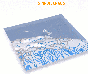 Places with similar names to Sima Villages, Papua New Guinea :: Disclaimer :: Information on this page comes without warranty of any kind |
||
|
Where is Sima Villages? Elevation and coordinates ::
Latitude (lat): 3°37'0"S Longitude (lon): 143°19'0"E
Elevation (approx.): 397m (map arrows pan, magnifying glasses zoom) |
||
|
Visiting Sima Villages? Hotel/Accommodation ::
Book a hotel in Sima Villages Travel Guide ::
rental cars ::
car rental offers GPS waypoint ::
download a GPX waypoint (PoI) of Sima Villages for your GPS receiver
|
||