|
search place name
|
||
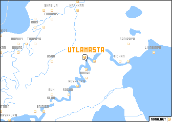
Utlamasta (Región Autónoma Atlántico Norte, Nicaragua)Utlamasta is a town in the Región Autónoma Atlántico Norte region of Nicaragua. An overview map of the region around Utlamasta is displayed below.
regional and 3d topo map of Utlamasta, Nicaragua ::
Utlamasta airports ::
The nearest airport is PUZ - Puerto Cabezas, located 104.8 km south of Utlamasta.
Nearby towns ::
Roskaya (1.8km east) //
Piankira (1.8km east) //
Living Creek (1.9km south) //
Neblina (3.7km south) //
Uhran (3.7km south) //
Sih (3.7km south) //
Auyapura (5.8km south) //
Tichán (7.2km east) //
Usan (7.2km west) //
Sagua (8.2km south west) //
Bum (10.3km south west) //
[all distances 'as the bird flies' and approximate] 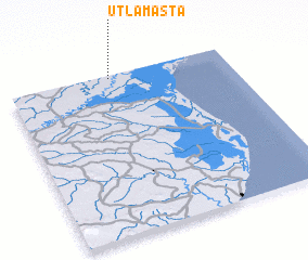 Places with similar names to Utlamasta, Nicaragua :: Disclaimer :: Information on this page comes without warranty of any kind |
||
|
Where is Utlamasta? Elevation and coordinates ::
Latitude (lat): 14°59'0"N Longitude (lon): 83°32'0"W
Elevation (approx.): 11m (map arrows pan, magnifying glasses zoom) |
||
|
Visiting Utlamasta? Hotel/Accommodation ::
Book a hotel in Utlamasta Travel Guide ::
Buy a travel guide for Nicaragua rental cars ::
car rental offers GPS waypoint ::
download a GPX waypoint (PoI) of Utlamasta for your GPS receiver
|
||