|
search place name
|
||
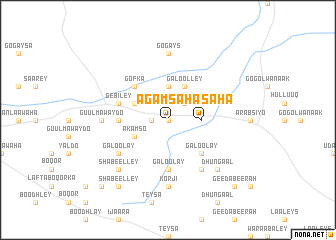
Agamsaha (Woqooyi Galbeed, Somalia)Agamsaha is a town in the Woqooyi Galbeed region of Somalia. An overview map of the region around Agamsaha is displayed below.
regional and 3d topo map of Agamsaha, Somalia ::
Agamsaha airports ::
The nearest airport is HGA - Hargeisa Egal Intl, located 48.1 km east of Agamsaha.
Other airports nearby include BBO - Berbera (158.5 km north east), DIR - Dire Dawa Intl (200.9 km west), Nearby towns ::
Galooley (0.0km north) //
Reehalas (1.8km west) //
Galooley (2.6km north east) //
Agamsaha (3.7km east) //
Galooley (3.7km north) //
Akamso (4.1km south west) //
Cumar Aadan (4.1km north west) //
Galoolley (4.1km north east) //
Galoolay (5.2km south east) //
Gofka (5.2km north west) //
Galoolay (5.6km south) //
Jameycada (5.5km west) //
Gebiley (5.8km west) //
Galoolay (6.6km south west) //
Shambacayno (6.7km south east) //
Tiin (7.3km west) //
Guulma Waydo (7.3km west) //
Korji (7.4km south) //
Gogays (7.4km north) //
Dhungaal (7.8km south east) //
Shabeelley (7.8km south west) //
Shabeelley (9.2km south west) //
Shabeelley (10.4km south west) //
Geed Abeerah (10.4km south east) //
[all distances 'as the bird flies' and approximate] 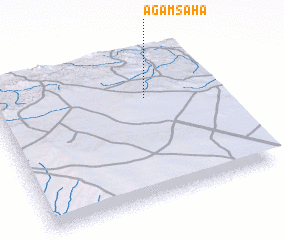 Places with similar names to Agamsaha, Somalia ::
// Agamsaha (SO)
Disclaimer :: Information on this page comes without warranty of any kind |
||
|
Where is Agamsaha? Elevation and coordinates ::
Latitude (lat): 9°41'0"N Longitude (lon): 43°41'0"E
Elevation (approx.): 1441m (map arrows pan, magnifying glasses zoom) |
||
|
Visiting Agamsaha? Hotel/Accommodation ::
Book a hotel in Agamsaha Travel Guide ::
Buy a travel guide for Somalia rental cars ::
car rental offers GPS waypoint ::
download a GPX waypoint (PoI) of Agamsaha for your GPS receiver
|
||