|
search place name
|
||
Calidheer (Hiiraan, Somalia)Calidheer is a town in the Hiiraan region of Somalia. An overview map of the region around Calidheer is displayed below.
regional and 3d topo map of Calidheer, Somalia ::

Nearby towns ::
Dabeylley (1.9km west) //
Gumar Gaalo (2.6km south west) //
Maxamed Buurfuule (3.7km east) //
Cabbaas (3.7km south) //
Bannaan (4.1km south east) //
Garsaalley (5.2km south west) //
Dhurwayle (5.9km north) //
Libaaxle (6.7km south west) //
Gariirow (7.4km west) //
Buurane (7.9km north east) //
Qacdo (7.9km south west) //
Barrey (8.3km north east) //
Qalimow (8.3km south west) //
Mareerrey (8.3km south east) //
Hilo Axmadey (9.3km north east) //
Shaan (10.5km north east) //
[all distances 'as the bird flies' and approximate] 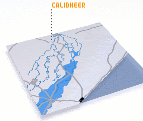 Places with similar names to Calidheer, Somalia ::
// Kuldhar (BD)
// Kul Dhurua (BD)
// Goldheri (PK)
// Gul Dherai (PK)
// Guldheri (PK)
// Kaldhār (PK)
// Kāli Dhari (PK)
// Kulādhār (PK)
// Qul Dheri (PK)
// Gaal Dheere (SO)
Disclaimer :: Information on this page comes without warranty of any kind |
||
|
Where is Calidheer? Elevation and coordinates ::
Latitude (lat): 2°55'0"N Longitude (lon): 45°27'0"E
Elevation (approx.): 108m (map arrows pan, magnifying glasses zoom) |
||
|
Visiting Calidheer? Hotel/Accommodation ::
Book a hotel in Calidheer Travel Guide ::
Buy a travel guide for Somalia rental cars ::
car rental offers GPS waypoint ::
download a GPX waypoint (PoI) of Calidheer for your GPS receiver
|
||