|
search place name
|
||
Galool Guushan (Bay, Somalia)Galool Guushan is a town in the Bay region of Somalia. An overview map of the region around Galool Guushan is displayed below.
regional and 3d topo map of Galool Guushan, Somalia ::
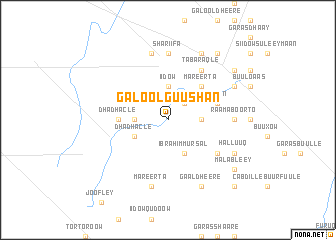
Nearby towns ::
Mareerta (2.6km north east) //
Gaay Dhiigaale (3.7km east) //
Iidow (3.7km north) //
Dha Dhacle (3.7km west) //
Ibrahim Mursal (4.1km south east) //
Dha Dhacle (4.1km south west) //
Janiino (5.2km north east) //
Mareerta (5.2km north east) //
Dha Dhacle (5.6km west) //
Kootin (5.9km east) //
Tabaraqle (6.7km north east) //
Dharabo (6.7km south east) //
Raama Boorto (7.4km east) //
Shariifa (7.4km north) //
Aw Liibaan (7.6km north) //
Mareerta (7.6km south) //
Cumaroow Ibrahim (8.3km north east) //
Aw Bitte (8.3km north east) //
Halluuq (8.3km south east) //
Cabdille (8.3km south east) //
Gaal Dheere (8.3km south east) //
Aw Raansow (9.3km north east) //
Moxamed Macalim (9.3km north east) //
Aw Kuulamuudey (9.3km north east) //
Malableey (9.3km south east) //
Dharuurada (10.5km south east) //
[all distances 'as the bird flies' and approximate] 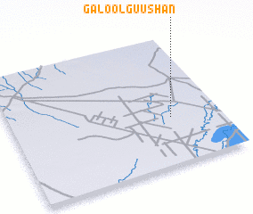 Places with similar names to Galool Guushan, Somalia :: Disclaimer :: Information on this page comes without warranty of any kind |
||
|
Where is Galool Guushan? Elevation and coordinates ::
Latitude (lat): 2°22'0"N Longitude (lon): 44°46'0"E
Elevation (approx.): 83m (map arrows pan, magnifying glasses zoom) |
||
|
Visiting Galool Guushan? Hotel/Accommodation ::
Book a hotel in Galool Guushan Travel Guide ::
Buy a travel guide for Somalia rental cars ::
car rental offers GPS waypoint ::
download a GPX waypoint (PoI) of Galool Guushan for your GPS receiver
|
||