|
search place name
|
||
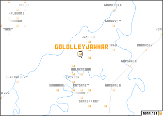
Gololley Jawhar (Shabeellaha Dhexe, Somalia)Gololley Jawhar is a town in the Shabeellaha Dhexe region of Somalia. An overview map of the region around Gololley Jawhar is displayed below.
regional and 3d topo map of Gololley Jawhar, Somalia ::
Nearby towns ::
Casirmaal (1.9km east) //
Ceeshoy (1.9km north) //
Dooncadayga (2.6km north east) //
Caano (2.6km south west) //
Malakaroor (3.7km south) //
Jameeco (4.1km north east) //
Gaabaney (4.1km north east) //
Caano (4.1km south west) //
Calasow (5.9km south) //
Kaysaney (7.4km south) //
Moorajiido (7.6km east) //
Xaaji (7.6km east) //
Herajeeran (7.6km south) //
Busley (7.6km south) //
Isgaad (7.6km south) //
Gabaanis (9.3km south west) //
Gumarrey (10.5km north east) //
Garsaale (10.5km south east) //
[all distances 'as the bird flies' and approximate] 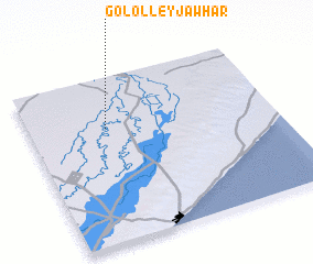 Places with similar names to Gololley Jawhar, Somalia :: Disclaimer :: Information on this page comes without warranty of any kind |
||
|
Where is Gololley Jawhar? Elevation and coordinates ::
Latitude (lat): 2°42'0"N Longitude (lon): 45°19'0"E
Elevation (approx.): 101m (map arrows pan, magnifying glasses zoom) |
||
|
Visiting Gololley Jawhar? Hotel/Accommodation ::
Book a hotel in Gololley Jawhar Travel Guide ::
Buy a travel guide for Somalia rental cars ::
car rental offers GPS waypoint ::
download a GPX waypoint (PoI) of Gololley Jawhar for your GPS receiver
|
||