|
search place name
|
||
Xasan Daaʼuud (Bay, Somalia)Xasan Daaʼuud is a town in the Bay region of Somalia. An overview map of the region around Xasan Daaʼuud is displayed below.
regional and 3d topo map of Xasan Daaʼuud, Somalia ::

Nearby towns ::
Heudooliyow (0.0km north) //
Gawaanka (1.9km west) //
Buur Heybo (3.7km west) //
Waagle (5.2km south west) //
Galool Oomane (5.9km west) //
[all distances 'as the bird flies' and approximate] 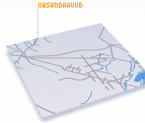
Disclaimer :: Information on this page comes without warranty of any kind |
||
|
Where is Xasan Daaʼuud? Elevation and coordinates ::
Latitude (lat): 2°59'0"N Longitude (lon): 44°20'0"E
Elevation (approx.): 220m (map arrows pan, magnifying glasses zoom) |
||
|
Visiting Xasan Daaʼuud? Hotel/Accommodation ::
Book a hotel in Xasan Daaʼuud Travel Guide ::
Buy a travel guide for Somalia rental cars ::
car rental offers GPS waypoint ::
download a GPX waypoint (PoI) of Xasan Daaʼuud for your GPS receiver
|
||