|
search place name
|
||
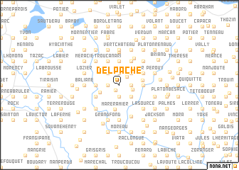
Delpache (Ouest, Haiti)Delpache is a town in the Ouest region of Haiti. An overview map of the region around Delpache is displayed below.
regional and 3d topo map of Delpache, Haiti ::
Delpache airports ::
The nearest airport is PAP - Port-au-prince Toussaint Louverture Intl, located 73.7 km north east of Delpache.
Other airports nearby include CAP - Cap Haitien Intl (175.0 km north east), BRX - Barahona Maria Montez Intl (191.8 km east), Nearby towns ::
Morne Belair (1.1km south west) //
Bistouri (1.7km north east) //
Lario (1.9km north) //
Matin (1.9km north) //
Zabot (1.9km north) //
Ca Martin (1.9km north) //
Lissade (1.8km east) //
Joublette (1.9km south) //
Nan Ramier (1.9km south) //
Bois Vert (1.8km west) //
Bistouri (2.1km east) //
Debureau (2.6km north east) //
Nan Plaisir (2.6km north east) //
Bellevue (2.6km north east) //
LʼÉvêque (2.6km north west) //
Lompré (2.6km south east) //
Blaise (3.0km north west) //
Délatre (3.1km south west) //
Chavannes (3.5km east) //
Pigeon (3.5km east) //
Desbureaux (3.7km north) //
Nan Plaine (3.7km north) //
Au Fouk (3.5km west) //
Mare Ramier (4.0km south) //
Parade (4.0km north east) //
Charie (4.1km north east) //
Trou Canari (4.1km north west) //
Carlos (4.1km north west) //
Maurice (4.1km north west) //
[all distances 'as the bird flies' and approximate] 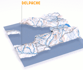
Disclaimer :: Information on this page comes without warranty of any kind |
||
|
Where is Delpache? Elevation and coordinates ::
Latitude (lat): 18°19'0"N Longitude (lon): 72°56'0"W
Elevation (approx.): 800m (map arrows pan, magnifying glasses zoom) |
||
|
Visiting Delpache? Hotel/Accommodation ::
Book a hotel in Delpache Travel Guide ::
Buy a travel guide for Haiti rental cars ::
car rental offers GPS waypoint ::
download a GPX waypoint (PoI) of Delpache for your GPS receiver
|
||