|
search place name
|
||
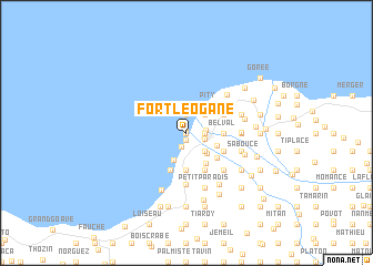
Fort Léogane (Ouest, Haiti)Fort Léogane is a town in the Ouest region of Haiti. An overview map of the region around Fort Léogane is displayed below.
regional and 3d topo map of Fort Léogane, Haiti ::
Fort Léogane airports ::
The nearest airport is PAP - Port-au-prince Toussaint Louverture Intl, located 38.4 km east of Fort Léogane.
Other airports nearby include CAP - Cap Haitien Intl (142.9 km north), BRX - Barahona Maria Montez Intl (164.3 km east), BCA - Baracoa Playa Gustavo Rizo (282.6 km north west), Nearby towns ::
Binaud (0.0km north) //
Ca-Ira (0.5km north) //
Baussan (0.7km south) //
Brossier (1.5km south) //
Daverne (1.9km north) //
Fosse (1.8km east) //
Carrefour Baussan (1.8km east) //
Léogâne (1.8km east) //
Chatulet (1.9km east) //
Saint-Gérard (2.6km north east) //
Chassagne (2.6km south east) //
Niveau (2.6km south east) //
Nan Malgré (2.6km south east) //
Cassagne (2.9km south east) //
Buteau (3.0km south west) //
Nan Timo (3.2km south east) //
Pity (3.4km north east) //
Morel (3.6km south east) //
Belval (3.5km east) //
Bossier (3.7km south) //
Ti Paradis (3.9km south east) //
Belol (4.0km south) //
Mercery (4.0km north east) //
Miton (4.0km north east) //
Santo (4.0km south east) //
Petit Paradis (4.1km south east) //
Dampus (4.1km south east) //
Malbouc (4.1km south east) //
Binot (4.1km south east) //
[all distances 'as the bird flies' and approximate] 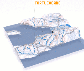 Places with similar names to Fort Léogane, Haiti ::
// Fort Logan (US)
Disclaimer :: Information on this page comes without warranty of any kind |
||
|
Where is Fort Léogane? Elevation and coordinates ::
Latitude (lat): 18°31'0"N Longitude (lon): 72°39'0"W
Elevation (approx.): 7m (map arrows pan, magnifying glasses zoom) |
||
|
Visiting Fort Léogane? Hotel/Accommodation ::
Book a hotel in Fort Léogane Travel Guide ::
Buy a travel guide for Haiti rental cars ::
car rental offers GPS waypoint ::
download a GPX waypoint (PoI) of Fort Léogane for your GPS receiver
|
||