|
search place name
|
||
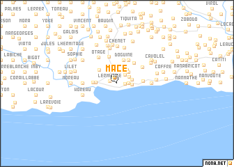
Mace (Sud-Est, Haiti)Mace is a town in the Sud-Est region of Haiti. An overview map of the region around Mace is displayed below.
regional and 3d topo map of Mace, Haiti ::
Mace airports ::
The nearest airport is PAP - Port-au-prince Toussaint Louverture Intl, located 62.7 km north east of Mace.
Other airports nearby include BRX - Barahona Maria Montez Intl (169.0 km east), CAP - Cap Haitien Intl (180.1 km north), Nearby towns ::
LʼErmitage (1.2km west) //
Corail (1.2km east) //
Mahotière (1.8km east) //
Cabaret (1.8km east) //
Terre Rouge (1.8km north east) //
Limba (2.1km north east) //
Trou Mahot (2.3km east) //
Bois lʼÉtat (2.4km east) //
Cajou (2.6km north east) //
Nan Bondieu (2.6km north east) //
Bommier (2.6km north east) //
Nan Sans Nègre (3.2km west) //
Douzil (3.4km north west) //
Bainet (3.7km west) //
Doguine (3.9km north) //
Corail (4.1km north east) //
Barrière André (3.9km east) //
Grande Crête (4.2km north east) //
Manoir (4.5km north) //
Ca Gars (4.7km north east) //
Otage (5.0km north west) //
Baptiste (5.3km west) //
Bois lʼÉtat (5.3km east) //
Bareau (5.8km north) //
Woreau (5.6km west) //
Toulouye (5.9km north) //
Chenet (5.9km north) //
Bodor (6.0km north east) //
Délété (6.3km north) //
[all distances 'as the bird flies' and approximate] 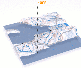 Places with similar names to Mace, Haiti ::
Disclaimer :: Information on this page comes without warranty of any kind |
||
|
Where is Mace? Elevation and coordinates ::
Latitude (lat): 18°11'0"N Longitude (lon): 72°43'0"W
Elevation (approx.): 104m (map arrows pan, magnifying glasses zoom) |
||
|
Visiting Mace? Hotel/Accommodation ::
Book a hotel in Mace Travel Guide ::
Buy a travel guide for Haiti rental cars ::
car rental offers GPS waypoint ::
download a GPX waypoint (PoI) of Mace for your GPS receiver
|
||