|
search place name
|
||
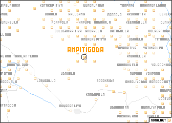
Ampitigoda (Central, Sri Lanka)Ampitigoda is a town in the Central region of Sri Lanka. An overview map of the region around Ampitigoda is displayed below.
regional and 3d topo map of Ampitigoda, Sri Lanka ::
Ampitigoda airports ::
The nearest airport is GOY - Galoya Amparai, located 96.0 km east of Ampitigoda.
Other airports nearby include CMB - Bandaranaike Intl Colombo (102.0 km west), RML - Colombo Ratmalana (104.5 km west), TRR - Trinciomalee China Bay (168.1 km north), Nearby towns ::
Ambetenna (0.0km north) //
Attanakumbura (0.0km north) //
Dunukebedda (0.0km north) //
Ketayapatana (0.0km north) //
Uduwella (1.9km north) //
Padiyapelella (1.9km north) //
Demodara (1.9km north) //
Ukutule (1.9km north) //
Ehalagastenna (1.9km north) //
Wewatenna (1.9km north) //
Maturata (1.9km north) //
Yatiwella (1.9km north) //
Wetagepota (1.9km north) //
Manakola (1.8km west) //
Alakolawewa (1.8km east) //
Wellagiriya (1.8km west) //
Metibembiya (1.8km west) //
Idampitiya (2.6km north west) //
Maratuwela (2.6km north west) //
Weteggama (3.7km north) //
Elgama (3.7km north) //
Kahatadanda (3.7km north) //
Udapadiyapelella (3.7km north) //
Napatawela (3.7km north) //
Mandaran Newara (4.1km south west) //
Ambagaspitiya (4.1km north east) //
Udawela (5.2km south west) //
Dehipe (5.6km north) //
Landupita (5.6km north) //
[all distances 'as the bird flies' and approximate] 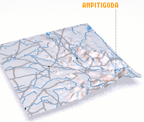 Places with similar names to Ampitigoda, Sri Lanka :: Disclaimer :: Information on this page comes without warranty of any kind |
||
|
Where is Ampitigoda? Elevation and coordinates ::
Latitude (lat): 7°4'0"N Longitude (lon): 80°48'0"E
Elevation (approx.): 1155m (map arrows pan, magnifying glasses zoom) |
||
|
Visiting Ampitigoda? Hotel/Accommodation ::
Book a hotel in Ampitigoda Travel Guide ::
Buy a travel guide for Sri Lanka rental cars ::
car rental offers GPS waypoint ::
download a GPX waypoint (PoI) of Ampitigoda for your GPS receiver
|
||