|
search place name
|
||
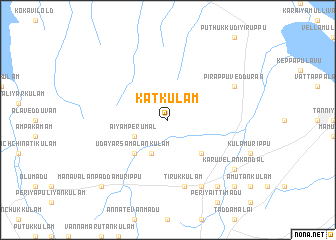
Katkulam (North Eastern, Sri Lanka)Katkulam is a town in the North Eastern region of Sri Lanka. An overview map of the region around Katkulam is displayed below.
regional and 3d topo map of Katkulam, Sri Lanka ::
Katkulam airports ::
The nearest airport is JAF - Jaffna Kankesanturai, located 87.5 km north west of Katkulam.
Other airports nearby include TRR - Trinciomalee China Bay (97.4 km south east), GOY - Galoya Amparai (235.7 km south east), TRZ - Tiruchchirappalli Tiruchirappalli (270.3 km north west), Nearby towns ::
Aiyamperumal (4.1km south west) //
Marakkaramoddai (4.1km south west) //
Kachchilamadu (5.2km south east) //
Udayarsamalankulam (5.2km south west) //
Tirukkulam (7.6km south) //
Pirappuvedduran (8.2km north east) //
Oddusuddan (8.3km south east) //
Karuvelankandal (9.2km south east) //
Putukkulam (9.2km south east) //
Sinnaittimadu (10.4km south east) //
Nallimurippu (10.4km south east) //
Manavalanpaddamurippu (10.4km south west) //
[all distances 'as the bird flies' and approximate] 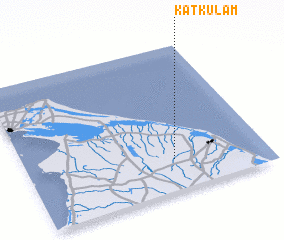 Places with similar names to Katkulam, Sri Lanka ::
// Kata-Kalamba (CD)
// Kodikulam (IN)
// Katkulam (LK)
// Katkulam (LK)
// Koddaikkulam (LK)
// Koddaikkulam (LK)
// Kuttikulama (LK)
// Kuttikulama (LK)
// Kuttikulama (LK)
// Gutkelmi (NG)
Disclaimer :: Information on this page comes without warranty of any kind |
||
|
Where is Katkulam? Elevation and coordinates ::
Latitude (lat): 9°13'0"N Longitude (lon): 80°37'0"E
Elevation (approx.): 38m (map arrows pan, magnifying glasses zoom) |
||
|
Visiting Katkulam? Hotel/Accommodation ::
Book a hotel in Katkulam Travel Guide ::
Buy a travel guide for Sri Lanka rental cars ::
car rental offers GPS waypoint ::
download a GPX waypoint (PoI) of Katkulam for your GPS receiver
|
||