|
search place name
|
||
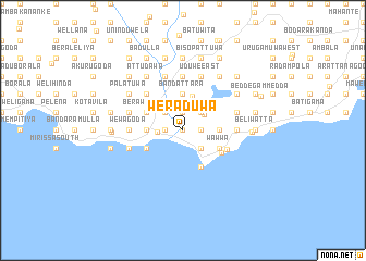
Weraduwa (Southern, Sri Lanka)Weraduwa is a town in the Southern region of Sri Lanka. An overview map of the region around Weraduwa is displayed below.
regional and 3d topo map of Weraduwa, Sri Lanka ::
Weraduwa airports ::
The nearest airport is RML - Colombo Ratmalana, located 122.3 km north west of Weraduwa.
Other airports nearby include CMB - Bandaranaike Intl Colombo (155.6 km north west), GOY - Galoya Amparai (193.0 km north east), Nearby towns ::
Waharajjawatta (0.0km north) //
Piladuwa (0.0km north) //
Peekwella (0.0km north) //
Wehelgoda (0.0km north) //
Ipitagoda (0.0km north) //
Meddewatta (0.0km north) //
Wewaihalagoda (1.8km east) //
Alahenpita (1.8km east) //
Kumbalgama (1.8km east) //
Gamagewatugoda (1.8km east) //
Talpawila East (1.8km east) //
Nayimana North (1.9km north) //
Galagammulla (1.9km north) //
Makawita (1.9km north) //
Nayimana South (1.9km north) //
Malagoda West (1.9km north) //
Maddumagegoda (1.9km north) //
Medagoda (1.9km north) //
Malagoda East (1.9km north) //
Dapanegegoda (1.9km north) //
Walpola (1.8km west) //
Kotuwegoda (1.8km west) //
Kompannawatta (1.8km west) //
Delkada (1.8km west) //
Pallimulla (1.8km west) //
Gandaragoda (1.8km west) //
Weragampita (1.8km west) //
Wellemadama (2.6km south east) //
Hiridenikanda (2.6km north east) //
[all distances 'as the bird flies' and approximate] 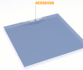 Places with similar names to Weraduwa, Sri Lanka :: Disclaimer :: Information on this page comes without warranty of any kind |
||
|
Where is Weraduwa? Elevation and coordinates ::
Latitude (lat): 5°57'0"N Longitude (lon): 80°34'0"E
Elevation (approx.): 11m (map arrows pan, magnifying glasses zoom) |
||
|
Visiting Weraduwa? Hotel/Accommodation ::
Book a hotel in Weraduwa Travel Guide ::
Buy a travel guide for Sri Lanka rental cars ::
car rental offers GPS waypoint ::
download a GPX waypoint (PoI) of Weraduwa for your GPS receiver
|
||