|
search place name
|
||
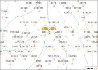
Bwegire (Busoga, Uganda)Bwegire is a town in the Busoga region of Uganda. An overview map of the region around Bwegire is displayed below.
regional and 3d topo map of Bwegire, Uganda ::
Bwegire airports ::
The nearest airport is EBB - Entebbe Intl, located 79.5 km south west of Bwegire.
Other airports nearby include SRT - Soroti (149.7 km north east), KIS - Kisumu (234.4 km east), Nearby towns ::
Tomi (1.9km west) //
Kyajunja (2.6km south east) //
Lugala (3.7km east) //
Kakira (4.1km south east) //
Gimbi (4.1km north east) //
Namuganga (4.1km north east) //
Bubengwa (4.1km north west) //
Nacheke (5.6km south) //
Kayini (5.9km south) //
Janda (5.9km west) //
Mamunye (5.9km north) //
Kasawo (6.5km east) //
Kitunku (6.7km south east) //
Timba (6.7km south west) //
Kibanga (6.7km north west) //
Kireba (6.7km north west) //
Wandulu (7.6km east) //
Gavu (7.9km south east) //
Buyuki (7.9km south west) //
Kabulanaka (8.3km south west) //
Kikandwa (8.5km south east) //
Zirobwe (8.6km west) //
Namalira (8.8km south east) //
Kigulu (10.5km south east) //
Butwala (10.5km north east) //
Nakaseta (10.5km south west) //
Mpigi (10.5km south west) //
[all distances 'as the bird flies' and approximate] 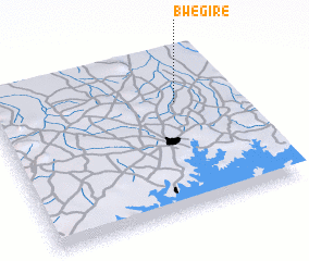 Places with similar names to Bwegire, Uganda ::
// Bwegere (TZ)
Disclaimer :: Information on this page comes without warranty of any kind |
||
|
Where is Bwegire? Elevation and coordinates ::
Latitude (lat): 0°41'0"S Longitude (lon): 32°46'0"E
Elevation (approx.): 1081m (map arrows pan, magnifying glasses zoom) |
||
|
Visiting Bwegire? Hotel/Accommodation ::
Book a hotel in Bwegire Travel Guide ::
Buy a travel guide for Uganda rental cars ::
car rental offers GPS waypoint ::
download a GPX waypoint (PoI) of Bwegire for your GPS receiver
|
||