|
search place name
|
||
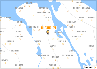
Kisarizi (Busoga, Uganda)Kisarizi is a town in the Busoga region of Uganda. An overview map of the region around Kisarizi is displayed below.
regional and 3d topo map of Kisarizi, Uganda ::
Kisarizi airports ::
The nearest airport is SRT - Soroti, located 98.9 km north east of Kisarizi.
Other airports nearby include EBB - Entebbe Intl (147.4 km south), KIS - Kisumu (261.9 km south east), Nearby towns ::
Kiwenda (2.6km south east) //
Kidera (3.6km north west) //
Galiraya (3.8km east) //
Kiwura (4.1km north west) //
Kigembo (4.1km south east) //
Kirasa (5.2km south west) //
Kidibya (5.6km north) //
Busungiri (5.9km west) //
Sobya (5.9km south) //
Kiryola (6.7km south east) //
Kisuga (7.6km north) //
Kyamugenywa (7.6km north) //
Kasala (8.3km north east) //
Bweyale (9.3km north west) //
[all distances 'as the bird flies' and approximate] 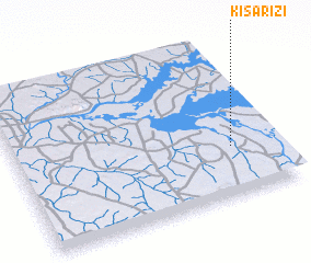 Places with similar names to Kisarizi, Uganda ::
// Ksirissi (MA)
// Caceres (PH)
// Casa Rosa (US)
// Kaisers (AT)
// Gösers (DE)
// Käsers (DE)
// Käsers (DE)
// Cáceres (PA)
// Casa Rossa (IT)
// Casa Rossa (IT)
Disclaimer :: Information on this page comes without warranty of any kind |
||
|
Where is Kisarizi? Elevation and coordinates ::
Latitude (lat): 1°19'0"N Longitude (lon): 32°50'0"E
Elevation (approx.): 1043m (map arrows pan, magnifying glasses zoom) |
||
|
Visiting Kisarizi? Hotel/Accommodation ::
Book a hotel in Kisarizi Travel Guide ::
Buy a travel guide for Uganda rental cars ::
car rental offers GPS waypoint ::
download a GPX waypoint (PoI) of Kisarizi for your GPS receiver
|
||