|
search place name
|
||
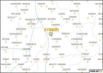
Kyabiri (Busoga, Uganda)Kyabiri is a town in the Busoga region of Uganda. An overview map of the region around Kyabiri is displayed below.
regional and 3d topo map of Kyabiri, Uganda ::
Kyabiri airports ::
The nearest airport is EBB - Entebbe Intl, located 99.9 km east of Kyabiri.
Other airports nearby include KGL - Kigali Intl (248.7 km south west), BUX - Bunia (254.2 km north west), Nearby towns ::
Kyambogo (2.6km south east) //
Luwanga (3.7km north east) //
Kasaana (4.9km south) //
Misanvu (5.2km east) //
Kalububbu (5.2km south west) //
Buyinja (5.6km north) //
Kamaanda (6.7km north west) //
Kibale (7.6km south) //
Kyansi (7.9km north east) //
Nkoni (8.3km south east) //
Lugazi (8.3km north east) //
Kasambya (8.3km south west) //
Katimba (8.3km north west) //
Bugenge (9.3km north west) //
Nakaseta (9.4km north west) //
Kawoko (10.1km north east) //
Butenga (11.9km north east) //
Kaboyo (11.9km south west) //
[all distances 'as the bird flies' and approximate] 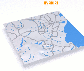 Places with similar names to Kyabiri, Uganda ::
// Guayabero (CU)
// Koyebiri (TD)
// Gouye Bara (SN)
// Guayabero (VE)
// Kayabor (GM)
// Kyaberi (NG)
// Gaye Abéré (ML)
Disclaimer :: Information on this page comes without warranty of any kind |
||
|
Where is Kyabiri? Elevation and coordinates ::
Latitude (lat): 0°16'0"S Longitude (lon): 31°36'0"E
Elevation (approx.): 1239m (map arrows pan, magnifying glasses zoom) |
||
|
Visiting Kyabiri? Hotel/Accommodation ::
Book a hotel in Kyabiri Travel Guide ::
Buy a travel guide for Uganda rental cars ::
car rental offers GPS waypoint ::
download a GPX waypoint (PoI) of Kyabiri for your GPS receiver
|
||