|
search place name
|
||
Kyalʼtayab (Lebap, Turkmenistan)Kyalʼtayab is a town in the Lebap region of Turkmenistan. An overview map of the region around Kyalʼtayab is displayed below.
regional and 3d topo map of Kyalʼtayab, Turkmenistan ::

Kyalʼtayab airports ::
The nearest airport is BHK - Bukhara, located 115.3 km north east of Kyalʼtayab.
Nearby towns ::
Ugur (1.9km south east) //
Charvak (2.3km north) //
Charvadar (2.9km south east) //
Kararyk (2.8km east) //
Imeni Karla Marksa (4.2km north) //
Chaltut (3.8km north east) //
Bangilʼdy (6.2km north) //
Akkala (6.1km north west) //
Bazar-Sakhe (6.7km north west) //
Cherenga (6.6km south east) //
Khodzhara (8.0km north) //
Kara-Kuli (8.0km north) //
Arapkhana (8.3km north east) //
Imeni Stalina (8.9km south east) //
Khozarek (8.9km south east) //
Komsomolʼsk (9.3km north west) //
[all distances 'as the bird flies' and approximate] 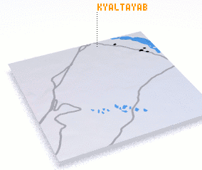 Places with similar names to Kyalʼtayab, Turkmenistan ::
// Kyalʼtayab (TM)
Disclaimer :: Information on this page comes without warranty of any kind |
||
|
Where is Kyalʼtayab? Elevation and coordinates ::
Latitude (lat): 38°57'44"N Longitude (lon): 63°39'4"E
Elevation (approx.): 193m (map arrows pan, magnifying glasses zoom) |
||
|
Visiting Kyalʼtayab? Hotel/Accommodation ::
Book a hotel in Kyalʼtayab Travel Guide ::
rental cars ::
car rental offers GPS waypoint ::
download a GPX waypoint (PoI) of Kyalʼtayab for your GPS receiver
|
||