|
search place name
|
||
Teze-Yël (Turkmenistan)Teze-Yël is a town in Turkmenistan. An overview map of the region around Teze-Yël is displayed below.
regional and 3d topo map of Teze-Yël, Turkmenistan ::
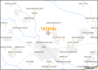
Nearby towns ::
Tezedurmush (1.5km east) //
Segli-Kar (2.4km north east) //
Imeni Voroshilova (4.0km south) //
Imeni Stalina (3.5km south east) //
Imeni Lenina (3.5km north west) //
Kara-Yab Pervyy (4.0km north) //
Amansha (4.8km south east) //
Mary (5.8km south) //
Imeni Poltoratskogo (6.9km south east) //
Kommunizm (6.9km south east) //
Durdy (6.9km south west) //
Kommunist (8.0km south) //
Ak-Bay (8.6km north west) //
Egri-Guzar (8.1km north west) //
Imeni Karla Marksa (9.5km south east) //
[all distances 'as the bird flies' and approximate] 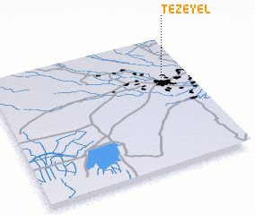 Places with similar names to Teze-Yël, Turkmenistan ::
Disclaimer :: Information on this page comes without warranty of any kind |
||
|
Where is Teze-Yël? Elevation and coordinates ::
Latitude (lat): 37°39'0"N Longitude (lon): 61°51'0"E
Elevation (approx.): 217m (map arrows pan, magnifying glasses zoom) |
||
|
Visiting Teze-Yël? Hotel/Accommodation ::
Book a hotel in Teze-Yël Travel Guide ::
rental cars ::
car rental offers GPS waypoint ::
download a GPX waypoint (PoI) of Teze-Yël for your GPS receiver
|
||