|
search place name
|
||
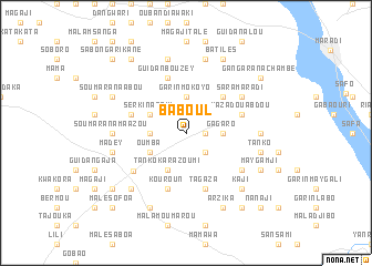
Baboul (Maradi, Niger)Baboul is a town in the Maradi region of Niger. An overview map of the region around Baboul is displayed below.
regional and 3d topo map of Baboul, Niger ::
Baboul airports ::
The nearest airport is MFG - Maradi, located 19.8 km north east of Baboul.
Other airports nearby include QUS - Gusau (140.8 km south), SKO - Sokoto Sadiq Abubakar Iii Intl (198.6 km west), KAN - Kano Mallam Aminu Intl (227.1 km south east), THZ - Tahoua (244.5 km north west), Nearby towns ::
Outa (1.9km north) //
Kobta (1.8km east) //
Garin Bajini (2.6km north east) //
Kodiadia (2.6km north west) //
Nassafo (2.6km south east) //
Garin Mokoyo (3.7km north) //
Gagaro (3.6km east) //
Saoudé (3.6km west) //
Sèrkin Atchi (4.1km north west) //
Tanko Karazoumi (4.1km south west) //
Oumba (4.1km south west) //
Foura Guirké (5.2km north east) //
Dogo Kouria (5.7km west) //
Mazadou Abdou (5.7km east) //
Tagaza (5.8km south) //
Guidan Bouzey (5.8km north) //
Kouroun (5.8km south) //
Serkin Yamma (6.4km south west) //
Sara Maradi (6.6km north east) //
Dan Adwa (6.6km south east) //
Dan Déguéji (7.2km east) //
Soumarana Maazou (7.2km west) //
Tabkin Marké (7.6km north) //
Guidan Babao (7.6km north) //
Tanko (7.4km east) //
Kala Bouto (7.4km west) //
Madey (7.4km west) //
Garin Goulbi (7.8km south west) //
Kaji (7.8km south east) //
[all distances 'as the bird flies' and approximate] 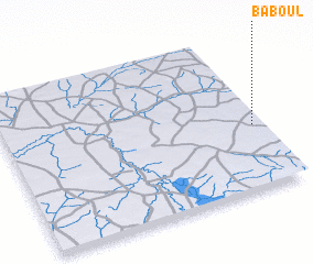 Places with similar names to Baboul, Niger ::
Disclaimer :: Information on this page comes without warranty of any kind |
||
|
Where is Baboul? Elevation and coordinates ::
Latitude (lat): 13°25'0"N Longitude (lon): 6°58'0"E
Elevation (approx.): 386m (map arrows pan, magnifying glasses zoom) |
||
|
Visiting Baboul? Hotel/Accommodation ::
Book a hotel in Baboul Travel Guide ::
Buy a travel guide for Niger rental cars ::
car rental offers GPS waypoint ::
download a GPX waypoint (PoI) of Baboul for your GPS receiver
|
||