|
search place name
|
||
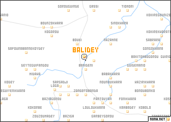
Balidey (Dosso, Niger)Balidey is a town in the Dosso region of Niger. An overview map of the region around Balidey is displayed below.
regional and 3d topo map of Balidey, Niger ::
Balidey airports ::
The nearest airport is NIM - Niamey Diori Hamani, located 115.4 km west of Balidey.
Other airports nearby include SKO - Sokoto Sadiq Abubakar Iii Intl (229.4 km east), Nearby towns ::
Tombo Bana (1.8km east) //
Bamideni (1.9km south) //
Bouki (4.1km north west) //
Nazamné (6.6km north east) //
Loulou Kwara (6.6km south west) //
Baba Kwara (6.6km south east) //
Zongotobanda (7.4km south) //
Diaké Kwara (7.6km south) //
Kwara Tégui (7.6km south) //
Dey Tégui Béri (7.6km south) //
Nounou Kwara (7.8km south east) //
Sargadji (7.8km south west) //
Kato Kwara (8.2km south west) //
Ko Gorou (9.1km north west) //
Gandou (9.2km north east) //
Mayaki Kwara (9.2km south west) //
Kouto Kwara Tiaranga (9.2km south east) //
Loga (9.1km south west) //
Bounzo Kwara (10.3km north west) //
Sino Kwara (10.3km north east) //
[all distances 'as the bird flies' and approximate] 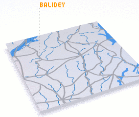 Places with similar names to Balidey, Niger ::
Disclaimer :: Information on this page comes without warranty of any kind |
||
|
Where is Balidey? Elevation and coordinates ::
Latitude (lat): 13°40'0"N Longitude (lon): 3°14'0"E
Elevation (approx.): 226m (map arrows pan, magnifying glasses zoom) |
||
|
Visiting Balidey? Hotel/Accommodation ::
Book a hotel in Balidey Travel Guide ::
Buy a travel guide for Niger rental cars ::
car rental offers GPS waypoint ::
download a GPX waypoint (PoI) of Balidey for your GPS receiver
|
||