|
search place name
|
||
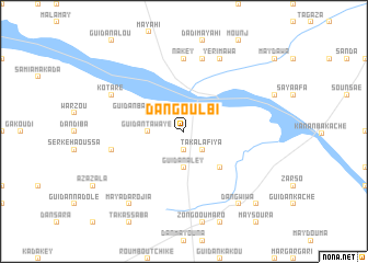
Dan Goulbi (Maradi, Niger)Dan Goulbi is a town in the Maradi region of Niger. An overview map of the region around Dan Goulbi is displayed below.
regional and 3d topo map of Dan Goulbi, Niger ::
Dan Goulbi airports ::
The nearest airport is MFG - Maradi, located 74.0 km south west of Dan Goulbi.
Other airports nearby include ZND - Zinder (139.1 km east), QUS - Gusau (216.8 km south west), KAN - Kano Mallam Aminu Intl (220.2 km south east), Nearby towns ::
Dounfou Mato (1.9km south) //
Kaori (2.6km north east) //
Taka Lafiya (2.6km south east) //
Guidan Tawayé (3.6km west) //
Guidan Aley (3.7km south) //
Guidan Bako Chawey (4.0km north west) //
Farou Sami (5.2km south east) //
Nakey (7.4km north) //
Digaba (7.6km north) //
Guidan Ango (7.4km west) //
Yérimawa (8.2km north east) //
Kotaré (8.1km north west) //
Maya Darojia (9.2km south west) //
Dan Gwiwa (9.2km south east) //
Dakoro (10.3km south east) //
[all distances 'as the bird flies' and approximate] 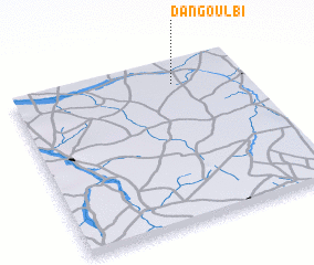 Places with similar names to Dan Goulbi, Niger ::
// Tangulbei (KE)
// Dangolla Ebbe (LK)
// Dan Goulbi (NE)
// Dan Goulbi (NE)
// Dangolobei (SD)
// Tangolāb (IR)
// Dan Gulbi (NG)
// Dungulbi (NG)
// Ðồng Lễ (1) (VN)
// Donglübiao (CN)
Disclaimer :: Information on this page comes without warranty of any kind |
||
|
Where is Dan Goulbi? Elevation and coordinates ::
Latitude (lat): 13°52'0"N Longitude (lon): 7°42'0"E
Elevation (approx.): 399m (map arrows pan, magnifying glasses zoom) |
||
|
Visiting Dan Goulbi? Hotel/Accommodation ::
Book a hotel in Dan Goulbi Travel Guide ::
Buy a travel guide for Niger rental cars ::
car rental offers GPS waypoint ::
download a GPX waypoint (PoI) of Dan Goulbi for your GPS receiver
|
||